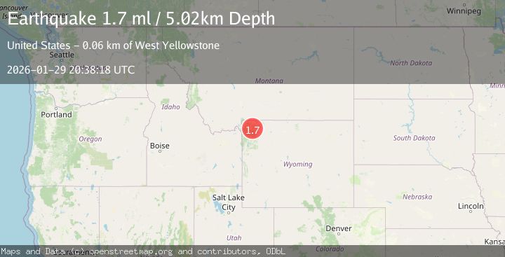
Earthquake 21 km SSW of Mammoth, Wyoming
Thu, 29 Jan 2026 19:41:50 GMT
Time1 hour ago
Location
44.7895, -110.7608
Depth
25.8 KM
Event Summary
A 2.8 magnitude earthquake struck on 21 km SSW of Mammoth, Wyoming, at Thu, 29 Jan 2026 19:41:50 GMT. Depth: 25.8199996948242km. Reviewed by USGS seismologists, this minor quake occurred at a magnitude type of ml.
Magnitude
2.8
ml
Source
USGS
Intensity
-
Agency Reports
1 Sources| Source | Magnitude | Depth | Time |
|---|---|---|---|
| USGSPrimary | 2.8 | 26 km | 1 hour ago |
Earthquake Details
AutomaticEvent IDusgs_uu80128506
Tsunami PotentialNo
Magnitude Typeml
Nearest Places
- Semi-Centennial Geyser1.7 km
- Clearwater Springs1.7 km
- Lemonade Lake1.9 km
- Grizzly Lake2.3 km
- Twin Lakes2.6 km
Comments
Join the discussion about this event.
Latest Earthquakes
2.4Mag
Northern Molucca Sea
Time1 hour ago
Depth77.20 km
SourceBMKG (Automatic)
2.4Mag
West Papua Region, Indonesia
Time2 hours ago
Depth10.00 km
SourceBMKG (Automatic)
3.0Mag
Southern Sumatra, Indonesia
Time2 hours ago
Depth23.61 km
SourceBMKG (Automatic)
2.1Mag
10 km NE of Pāhala, Hawaii
Time2 hours ago
Depth28.82 km
SourceUSGS (Automatic)
2.2Mag
Timor Region
Time2 hours ago
Depth5.01 km
SourceBMKG (Automatic)
Nearby Earthquakes
1.6Mag
33 km E of West Yellowstone, Montana
Time3 days ago
Depth7.60 km
SourceUSGS
2.6Mag
30 km NW of Stanley, Idaho
Time3 days ago
Depth10.89 km
SourceUSGS
1.2Mag
27 km SSW of Snowville, Utah
Time1 week ago
Depth5.69 km
SourceUSGS
3.0Mag
UTAH
Time1 week ago
Depth8.10 km
SourceUU (Automatic)
4.8Mag
UTAH
Time1 week ago
Depth10.00 km
SourceCSLC (Automatic)