Earthquake 4 km ESE of Mossyrock, Washington
Tue, 13 Jan 2026 04:31:59 GMT
Time2 hours ago
Location
46.5170, -122.4300
Depth
21.1 KM
Event Summary
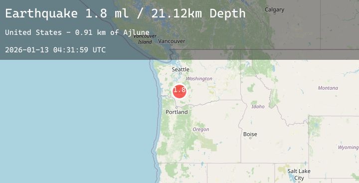
A 1.8 magnitude earthquake struck on 4 km ESE of Mossyrock, Washington, at Tue, 13 Jan 2026 04:31:59 GMT. Depth: 21.1200008392334km. Reviewed by USGS seismologists, this minor quake occurred at a magnitude type of ml.
Magnitude
1.8
ml
Source
USGS
Intensity
-
Agency Reports
1 Sources| Source | Magnitude | Depth | Time |
|---|---|---|---|
| USGSPrimary | 1.8 | 21 km | 2 hours ago |
Earthquake Details
AutomaticEvent IDusgs_uw62214062
Tsunami PotentialNo
Magnitude Typeml
Nearest Places
- Ajlune0.4 km
- Mossyrock Park1.5 km
- Mossyrock Dam2.0 km
- Mossyrock State Wildlife Area2.8 km
- Swofford Pond2.8 km
Comments
Join the discussion about this event.
Latest Earthquakes
0.5Mag
8 km S of Hemet, CA
Time2 hours ago
Depth15.03 km
SourceUSGS (Automatic)
2.1Mag
Java, Indonesia
Time2 hours ago
Depth15.07 km
SourceBMKG (Automatic)
3.7Mag
South of Sumbawa, Indonesia
Time2 hours ago
Depth0.00 km
SourceBMKG (Automatic)
1.0Mag
85 km NW of Karluk, Alaska
Time2 hours ago
Depth5.00 km
SourceUSGS (Automatic)
1.1Mag
9 km SSE of Livermore, CA
Time2 hours ago
Depth8.68 km
SourceUSGS (Automatic)