Earthquake Northern Territory, Australia
Sun, 15 Feb 2026 12:35:31 GMT
Time2 days ago
Location
-20.4470, 135.0156
Depth
272.7 KM
Event Summary
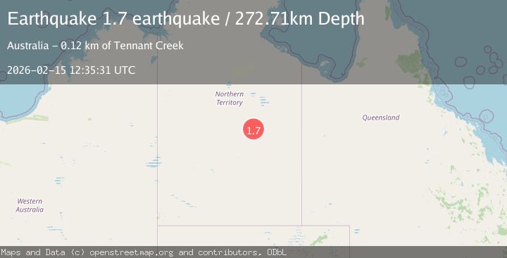
A 1.7 magnitude earthquake struck on Northern Territory, Australia, at Sun, 15 Feb 2026 12:35:31 GMT. Depth: 272.705078125km. Reviewed by VYT seismologists, this minor quake occurred at a magnitude type of earthquake.
Magnitude
1.7
earthquake
Source
VYT
Intensity
-
Agency Reports
1 Sources| Source | Magnitude | Depth | Time |
|---|---|---|---|
| VYTPrimary | 1.7 | 273 km | 2 days ago |
Earthquake Details
AutomaticEvent IDvyt_155dnsy41fmjs
Tsunami PotentialNo
Magnitude Typeearthquake
Nearest Places
- Wire Yard3.1 km
- Whistleduck Waterhole8.4 km
- Arrawajin9.0 km
- Dingo Bore11.8 km
- Blackfellow Creek13.5 km
Comments
Join the discussion about this event.
Latest Earthquakes
2.2Mag
Seram, Indonesia
Time12 hours ago
Depth19.61 km
SourceBMKG
2.2Mag
Sweden
Time12 hours ago
Depth0.00 km
SourceVYT (Automatic)
1.5Mag
Southeastern Alaska
Time12 hours ago
Depth0.00 km
SourceVYT (Automatic)
1.6Mag
5 km NNW of Boron, CA
Time12 hours ago
Depth-0.63 km
SourceUSGS (Automatic)
2.3Mag
Ceram Sea
Time12 hours ago
Depth10.00 km
SourceBMKG
Nearby Earthquakes
2.4Mag
Northern Territory, Australia
Time18 hours ago
Depth0.98 km
SourceVYT (Automatic)
4.6Mag
NORTHERN TERRITORY, AUSTRALIA
Time1 month ago
Depth10.00 km
SourceEMSC (Automatic)
0.8Mag
Northern Territory, Australia
Time6 days ago
Depth0.12 km
SourceVYT (Automatic)
3.0Mag
NORTHERN TERRITORY, AUSTRALIA
Time1 month ago
Depth5.00 km
SourceAUST (Automatic)
1.8Mag
Northern Territory, Australia
Time3 days ago
Depth284.42 km
SourceVYT (Automatic)