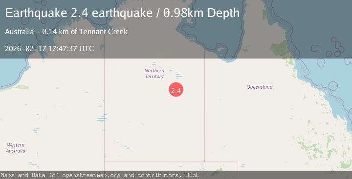
Earthquake Northern Territory, Australia
Tue, 17 Feb 2026 17:47:37 GMT
Time16 hours ago
Location
-19.9960, 135.4664
Depth
1.0 KM
Event Summary
A 2.4 magnitude earthquake struck on Northern Territory, Australia, at Tue, 17 Feb 2026 17:47:37 GMT. Depth: 0.9765625km. Reviewed by VYT seismologists, this minor quake occurred at a magnitude type of earthquake.
Magnitude
2.4
earthquake
Source
VYT
Intensity
-
Agency Reports
1 Sources| Source | Magnitude | Depth | Time |
|---|---|---|---|
| VYTPrimary | 2.4 | 1 km | 16 hours ago |
Earthquake Details
AutomaticEvent IDvyt_3uanrk9k97dzt
Tsunami PotentialNo
Magnitude Typeearthquake
Nearest Places
- Frew River19.2 km
- Walkabout Bore24.6 km
- Purrukuwuru24.7 km
- Purrukuwurru24.7 km
- Billulaungarri Native Well32.4 km
Comments
Join the discussion about this event.
Latest Earthquakes
1.7Mag
24 km WNW of Petersville, Alaska
Time16 hours ago
Depth84.10 km
SourceUSGS (Automatic)
2.3Mag
Flores Sea
Time16 hours ago
Depth23.96 km
SourceBMKG
2.3Mag
NORTHERN CALIFORNIA
Time16 hours ago
Depth6.60 km
SourceNC (Automatic)
2.6Mag
OFFSHORE EL SALVADOR
Time16 hours ago
Depth37.00 km
SourceINET (Automatic)
2.4Mag
Sulawesi, Indonesia
Time16 hours ago
Depth80.44 km
SourceVYT (Automatic)
Nearby Earthquakes
1.7Mag
Northern Territory, Australia
Time2 days ago
Depth272.71 km
SourceVYT (Automatic)
0.8Mag
Northern Territory, Australia
Time6 days ago
Depth0.12 km
SourceVYT (Automatic)
1.8Mag
Northern Territory, Australia
Time3 days ago
Depth284.42 km
SourceVYT (Automatic)
6.0Mag
Northern Territory, Australia
Time1 week ago
Depth0.00 km
SourceVYT (Automatic)
2.6Mag
Northern Territory, Australia
Time3 days ago
Depth0.00 km
SourceVYT (Automatic)