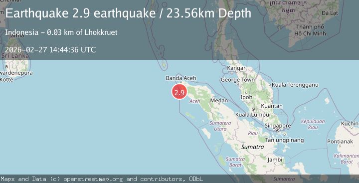
Earthquake northern Sumatra, Indonesia
Fri, 27 Feb 2026 14:44:36 GMT
Time1 hour ago
Location
4.7303, 95.1892
Depth
23.6 KM
Event Summary
A 2.9 magnitude earthquake struck on northern Sumatra, Indonesia, at Fri, 27 Feb 2026 14:44:36 GMT. Depth: 23.5595703125km. Reviewed by VYT seismologists, this minor quake occurred at a magnitude type of earthquake.
Magnitude
2.9
earthquake
Source
VYT
Intensity
-
Agency Reports
2 Sources| Source | Magnitude | Depth | Time |
|---|---|---|---|
| VYTPrimary | 2.9 | 24 km | 1 hour ago |
| BMKG | 3.2 | 25 km | 1 hour ago |
Earthquake Details
AutomaticEvent IDvyt_1dck84zr6fx9x
Tsunami PotentialNo
Magnitude Typeearthquake
Nearest Places
- 25.2 km
- 25.3 km
- 25.3 km
- 25.4 km
- 25.4 km
Comments
Join the discussion about this event.
Latest Earthquakes
1.1Mag
4 km ESE of Loma Linda, CA
Time1 hour ago
Depth3.40 km
SourceUSGS (Automatic)
3.2Mag
southern Sumatra, Indonesia
Time1 hour ago
Depth43.70 km
SourceVYT (Automatic)
2.0Mag
Atacama, Chile
Time1 hour ago
Depth0.98 km
SourceVYT (Automatic)
1.4Mag
15 km W of Johannesburg, CA
Time1 hour ago
Depth1.93 km
SourceUSGS (Automatic)
2.1Mag
Tarapaca, Chile
Time1 hour ago
Depth100.10 km
SourceVYT (Automatic)
Nearby Earthquakes
6.0Mag
NORTHERN SUMATRA, INDONESIA
Time21 years ago
Depth30.00 km
SourceEMSC (Automatic)
3.1Mag
northern Sumatra, Indonesia
Time15 hours ago
Depth41.14 km
SourceVYT (Automatic)
5.0Mag
NORTHERN SUMATRA, INDONESIA
Time3 years ago
Depth60.00 km
SourceEMSC (Automatic)
5.0Mag
NORTHERN SUMATRA, INDONESIA
Time10 years ago
Depth60.00 km
SourceEMSC (Automatic)
5.3Mag
NORTHERN SUMATRA, INDONESIA
Time21 years ago
Depth33.00 km
SourceEMSC (Automatic)