Earthquake southern Sumatra, Indonesia
Fri, 27 Feb 2026 14:41:38 GMT
Time1 hour ago
Location
-1.6181, 101.5027
Depth
43.7 KM
Event Summary
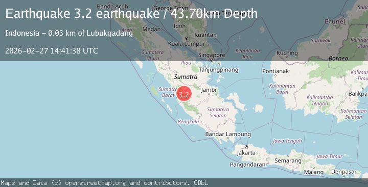
A 3.2 magnitude earthquake struck on southern Sumatra, Indonesia, at Fri, 27 Feb 2026 14:41:38 GMT. Depth: 43.701171875km. Reviewed by VYT seismologists, this minor quake occurred at a magnitude type of earthquake.
Magnitude
3.2
earthquake
Source
VYT
Intensity
-
Agency Reports
1 Sources| Source | Magnitude | Depth | Time |
|---|---|---|---|
| VYTPrimary | 3.2 | 44 km | 1 hour ago |
Earthquake Details
AutomaticEvent IDvyt_2j11460nda8a5
Tsunami PotentialNo
Magnitude Typeearthquake
Nearest Places
- 5.7 km
- 6.0 km
- 7.2 km
- 7.4 km
- 8.7 km
Comments
Join the discussion about this event.
Latest Earthquakes
2.9Mag
northern Sumatra, Indonesia
Time1 hour ago
Depth23.56 km
SourceVYT (Automatic)
1.1Mag
4 km ESE of Loma Linda, CA
Time1 hour ago
Depth3.40 km
SourceUSGS (Automatic)
2.0Mag
Atacama, Chile
Time1 hour ago
Depth0.98 km
SourceVYT (Automatic)
1.4Mag
15 km W of Johannesburg, CA
Time1 hour ago
Depth1.93 km
SourceUSGS (Automatic)
2.1Mag
Tarapaca, Chile
Time1 hour ago
Depth100.10 km
SourceVYT (Automatic)
Nearby Earthquakes
5.2Mag
SOUTHERN SUMATRA, INDONESIA
Time17 years ago
Depth80.00 km
SourceEMSC (Automatic)
5.4Mag
SOUTHERN SUMATRA, INDONESIA
Time7 years ago
Depth10.00 km
SourceEMSC (Automatic)
4.5Mag
SOUTHERN SUMATRA, INDONESIA
Time1 month ago
Depth151.50 km
SourceEMSC (Automatic)
3.7Mag
SOUTHERN SUMATRA, INDONESIA
Time1 month ago
Depth10.00 km
SourceBMKG (Automatic)
2.9Mag
SOUTHERN SUMATRA, INDONESIA
Time1 month ago
Depth5.00 km
SourceBMKG (Automatic)