Earthquake 4 km ESE of Loma Linda, CA
Fri, 27 Feb 2026 14:43:26 GMT
Time1 hour ago
Location
34.0325, -117.2270
Depth
3.4 KM
Event Summary
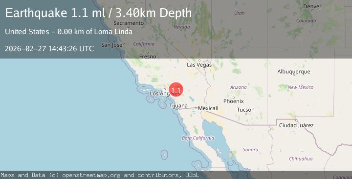
A 1.1 magnitude earthquake struck on 4 km ESE of Loma Linda, CA, at Fri, 27 Feb 2026 14:43:26 GMT. Depth: 3.4km. Reviewed by USGS seismologists, this minor quake occurred at a magnitude type of ml.
Magnitude
1.1
ml
Source
USGS
Intensity
-
Agency Reports
1 Sources| Source | Magnitude | Depth | Time |
|---|---|---|---|
| USGSPrimary | 1.1 | 3 km | 1 hour ago |
Earthquake Details
AutomaticEvent IDusgs_ci41405344
Tsunami PotentialNo
Magnitude Typeml
Nearest Places
- 1.1 km
- 1.6 km
- 1.7 km
- 1.8 km
- 1.9 km
Comments
Join the discussion about this event.
Latest Earthquakes
2.9Mag
northern Sumatra, Indonesia
Time1 hour ago
Depth23.56 km
SourceVYT (Automatic)
3.2Mag
southern Sumatra, Indonesia
Time1 hour ago
Depth43.70 km
SourceVYT (Automatic)
2.0Mag
Atacama, Chile
Time1 hour ago
Depth0.98 km
SourceVYT (Automatic)
1.4Mag
15 km W of Johannesburg, CA
Time1 hour ago
Depth1.93 km
SourceUSGS (Automatic)
2.1Mag
Tarapaca, Chile
Time1 hour ago
Depth100.10 km
SourceVYT (Automatic)
Nearby Earthquakes
1.2Mag
3 km SE of Loma Linda, CA
Time3 hours ago
Depth4.49 km
SourceUSGS (Automatic)
1.3Mag
3 km ESE of Loma Linda, CA
Time4 hours ago
Depth4.18 km
SourceUSGS (Automatic)
1.3Mag
3 km ESE of Loma Linda, CA
Time5 hours ago
Depth3.89 km
SourceUSGS (Automatic)
1.2Mag
3 km SE of Loma Linda, CA
Time3 hours ago
Depth8.02 km
SourceUSGS (Automatic)
1.1Mag
3 km ESE of Loma Linda, CA
Time2 days ago
Depth4.65 km
SourceUSGS (Automatic)