Earthquake Southeastern Alaska
Sun, 15 Feb 2026 18:16:04 GMT
Time3 days ago
Location
60.4216, -139.6963
Depth
0.0 KM
Event Summary
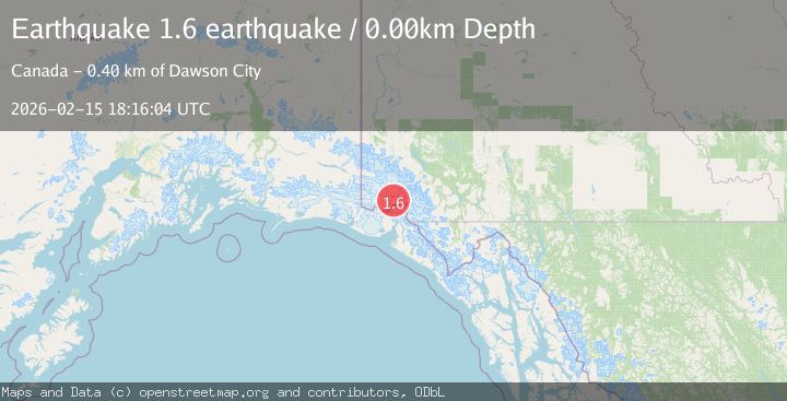
A 1.6 magnitude earthquake struck on Southeastern Alaska, at Sun, 15 Feb 2026 18:16:04 GMT. Depth: 0km. Reviewed by VYT seismologists, this minor quake occurred at a magnitude type of earthquake.
Magnitude
1.6
earthquake
Source
VYT
Intensity
-
Agency Reports
1 Sources| Source | Magnitude | Depth | Time |
|---|---|---|---|
| VYTPrimary | 1.6 | 0 km | 3 days ago |
Earthquake Details
AutomaticEvent IDvyt_3p21leeqwh7pk
Tsunami PotentialNo
Magnitude Typeearthquake
Nearest Places
- Mount Vancouver7.0 km
- Mount King George13.2 km
- St. Elias Mountains18.8 km
- Marker Lake18.9 km
- Hubbard Glacier19.5 km
Comments
Join the discussion about this event.
Latest Earthquakes
1.0Mag
Southeastern Alaska
Time7 minutes ago
Depth0.00 km
SourceVYT (Automatic)
3.5Mag
COOK STRAIT, NEW ZEALAND
Time8 minutes ago
Depth75.30 km
SourceGNS (Automatic)
2.5Mag
Seram, Indonesia
Time10 minutes ago
Depth21.28 km
SourceBMKG
2.6Mag
West Papua Region, Indonesia
Time13 minutes ago
Depth17.35 km
SourceBMKG
5.0Mag
CENTRAL MID-ATLANTIC RIDGE
Time13 minutes ago
Depth10.00 km
SourceEMSC (Automatic)
Nearby Earthquakes
2.7Mag
SOUTHERN YUKON TERRITORY, CANADA
Time1 month ago
Depth5.00 km
SourceNEIC (Automatic)
2.4Mag
Southeastern Alaska
Time1 week ago
Depth0.00 km
SourceVYT (Automatic)
2.9Mag
SOUTHERN YUKON TERRITORY, CANADA
Time1 month ago
Depth5.00 km
SourceNEIC (Automatic)
2.5Mag
SOUTHERN YUKON TERRITORY, CANADA
Time2 months ago
Depth5.00 km
SourceNEIC (Automatic)
2.9Mag
SOUTHERN YUKON TERRITORY, CANADA
Time1 month ago
Depth5.00 km
SourceNEIC (Automatic)