Earthquake Southern Alaska
Thu, 12 Feb 2026 03:16:49 GMT
Time6 days ago
Location
60.1702, -153.6221
Depth
18.4 KM
Event Summary
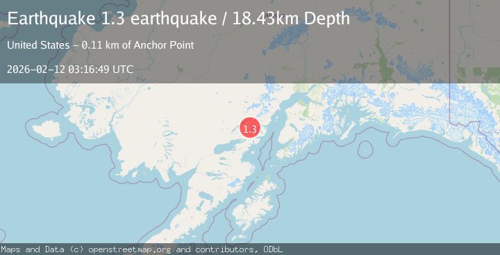
A 1.3 magnitude earthquake struck on Southern Alaska, at Thu, 12 Feb 2026 03:16:49 GMT. Depth: 18.4326171875km. Reviewed by VYT seismologists, this minor quake occurred at a magnitude type of earthquake.
Magnitude
1.3
earthquake
Source
VYT
Intensity
-
Agency Reports
1 Sources| Source | Magnitude | Depth | Time |
|---|---|---|---|
| VYTPrimary | 1.3 | 18 km | 6 days ago |
Earthquake Details
AutomaticEvent IDvyt_1mxndm0xx6frj
Tsunami PotentialNo
Magnitude Typeearthquake
Nearest Places
- Chigmit Mountains2.2 km
- Brooks Creek13.4 km
- Gladiator Basin14.3 km
- Ospook Creek14.9 km
- Copper Mountain16.3 km
Comments
Join the discussion about this event.
Latest Earthquakes
1.8Mag
Southern Alaska
Time2 minutes ago
Depth51.51 km
SourceVYT (Automatic)
1.9Mag
11 km E of Pāhala, Hawaii
Time6 minutes ago
Depth30.61 km
SourceUSGS (Automatic)
3.2Mag
Antofagasta, Chile
Time10 minutes ago
Depth124.27 km
SourceVYT (Automatic)
1.7Mag
Kenai Peninsula, Alaska
Time16 minutes ago
Depth28.44 km
SourceVYT (Automatic)
1.7Mag
Tarapaca, Chile
Time19 minutes ago
Depth6.47 km
SourceVYT (Automatic)
Nearby Earthquakes
1.8Mag
Southern Alaska
Time2 days ago
Depth195.07 km
SourceVYT (Automatic)
3.0Mag
SOUTHERN ALASKA
Time2 years ago
Depth180.00 km
SourceAK (Automatic)
6.3Mag
SOUTHERN ALASKA
Time10 years ago
Depth103.00 km
SourceEMSC (Automatic)
3.0Mag
SOUTHERN ALASKA
Time3 years ago
Depth149.00 km
SourceNEIC (Automatic)
3.0Mag
SOUTHERN ALASKA
Time9 months ago
Depth155.60 km
SourceNEIC (Automatic)