Earthquake Southern Alaska
Mon, 16 Feb 2026 11:41:39 GMT
Time2 days ago
Location
60.1419, -153.5013
Depth
195.1 KM
Event Summary
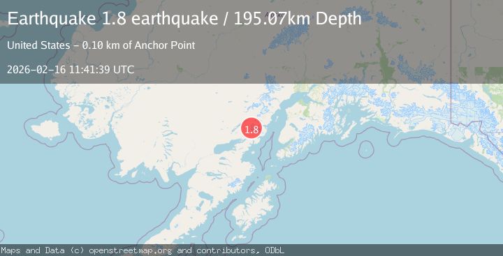
A 1.8 magnitude earthquake struck on Southern Alaska, at Mon, 16 Feb 2026 11:41:39 GMT. Depth: 195.068359375km. Reviewed by VYT seismologists, this minor quake occurred at a magnitude type of earthquake.
Magnitude
1.8
earthquake
Source
VYT
Intensity
-
Agency Reports
1 Sources| Source | Magnitude | Depth | Time |
|---|---|---|---|
| VYTPrimary | 1.8 | 195 km | 2 days ago |
Earthquake Details
AutomaticEvent IDvyt_35fszymduze58
Tsunami PotentialNo
Magnitude Typeearthquake
Nearest Places
- Chigmit Mountains5.3 km
- Brooks Creek17.8 km
- Tongue Glacier18.0 km
- Roscoe Glacier20.1 km
- Gladiator Basin20.4 km
Comments
Join the discussion about this event.
Latest Earthquakes
1.7Mag
western Texas
Time23 minutes ago
Depth3.42 km
SourceVYT (Automatic)
3.8Mag
Seram, Indonesia
Time25 minutes ago
Depth0.00 km
SourceVYT (Automatic)
1.6Mag
54 km WNW of Toyah, Texas
Time31 minutes ago
Depth0.00 km
SourceUSGS (Automatic)
2.2Mag
West Papua Region, Indonesia
Time32 minutes ago
Depth26.69 km
SourceBMKG
1.2Mag
WESTERN TURKEY
Time33 minutes ago
Depth7.00 km
SourceAFAD (Automatic)
Nearby Earthquakes
6.3Mag
SOUTHERN ALASKA
Time10 years ago
Depth103.00 km
SourceEMSC (Automatic)
3.0Mag
SOUTHERN ALASKA
Time3 years ago
Depth149.00 km
SourceNEIC (Automatic)
3.0Mag
SOUTHERN ALASKA
Time9 months ago
Depth155.60 km
SourceNEIC (Automatic)
3.0Mag
SOUTHERN ALASKA
Time2 years ago
Depth180.00 km
SourceAK (Automatic)
1.3Mag
Southern Alaska
Time6 days ago
Depth18.43 km
SourceVYT (Automatic)