Earthquake SOUTHERN ALASKA
Wed, 29 Jul 2015 02:35:56 GMT
Time10 years ago
Location
60.1400, -153.4600
Depth
103.0 KM
Event Summary
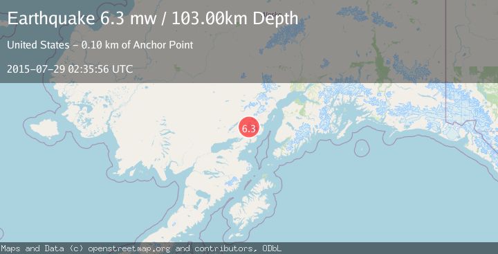
A 6.3 magnitude earthquake struck on SOUTHERN ALASKA, at Wed, 29 Jul 2015 02:35:56 GMT. Depth: 103km. Reviewed by EMSC seismologists, this strong quake occurred at a magnitude type of mw.
Magnitude
6.3
mw
Source
EMSC
Intensity
-
Agency Reports
1 Sources| Source | Magnitude | Depth | Time |
|---|---|---|---|
| EMSCPrimary | 6.3 | 103 km | 10 years ago |
Earthquake Details
AutomaticEvent IDemsc_EMSC_20150729_0000010
Tsunami PotentialNo
Magnitude Typemw
Nearest Places
- Chigmit Mountains7.4 km
- Tongue Glacier15.9 km
- Roscoe Glacier19.4 km
- Tuxedni Glacier19.8 km
- Brooks Creek20.0 km
Comments
Join the discussion about this event.
Latest Earthquakes
4.0Mag
Southern California
Time20 hours ago
Depth20.39 km
SourceVYT (Automatic)
3.2Mag
NORTH ISLAND OF NEW ZEALAND
Time20 hours ago
Depth114.60 km
SourceGNS (Automatic)
3.0Mag
Kepulauan Sula, Indonesia
Time20 hours ago
Depth275.15 km
SourceVYT (Automatic)
2.4Mag
Tarapaca, Chile
Time20 hours ago
Depth115.11 km
SourceVYT (Automatic)
1.6Mag
25 km NE of Mentone, Texas
Time20 hours ago
Depth4.34 km
SourceUSGS (Automatic)
Nearby Earthquakes
3.0Mag
SOUTHERN ALASKA
Time3 years ago
Depth149.00 km
SourceNEIC (Automatic)
1.8Mag
Southern Alaska
Time2 days ago
Depth195.07 km
SourceVYT (Automatic)
3.0Mag
SOUTHERN ALASKA
Time9 months ago
Depth155.60 km
SourceNEIC (Automatic)
3.0Mag
SOUTHERN ALASKA
Time2 years ago
Depth180.00 km
SourceAK (Automatic)
3.0Mag
SOUTHERN ALASKA
Time4 years ago
Depth154.00 km
SourceNEIC (Automatic)