Earthquake Southeastern Alaska
Fri, 13 Feb 2026 01:20:44 GMT
Time5 days ago
Location
60.5188, -140.2678
Depth
0.0 KM
Event Summary
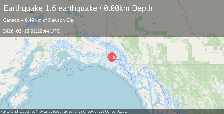
A 1.6 magnitude earthquake struck on Southeastern Alaska, at Fri, 13 Feb 2026 01:20:44 GMT. Depth: 0km. Reviewed by VYT seismologists, this minor quake occurred at a magnitude type of earthquake.
Magnitude
1.6
earthquake
Source
VYT
Intensity
-
Agency Reports
1 Sources| Source | Magnitude | Depth | Time |
|---|---|---|---|
| VYTPrimary | 1.6 | 0 km | 5 days ago |
Earthquake Details
AutomaticEvent IDvyt_37k5oiwebmwfg
Tsunami PotentialNo
Magnitude Typeearthquake
Nearest Places
- Mount Logan9.2 km
- McArthur Peak10.2 km
- Marker Lake15.4 km
- King Peak22.3 km
- Corwin Cliffs25.1 km
Comments
Join the discussion about this event.
Latest Earthquakes
3.2Mag
Antofagasta, Chile
Time2 minutes ago
Depth124.27 km
SourceVYT (Automatic)
1.7Mag
Kenai Peninsula, Alaska
Time8 minutes ago
Depth28.44 km
SourceVYT (Automatic)
1.7Mag
Tarapaca, Chile
Time11 minutes ago
Depth6.47 km
SourceVYT (Automatic)
1.9Mag
Central Alaska
Time13 minutes ago
Depth81.18 km
SourceVYT (Automatic)
1.2Mag
21 km ENE of Little Lake, CA
Time14 minutes ago
Depth0.90 km
SourceUSGS (Automatic)
Nearby Earthquakes
3.1Mag
SOUTHERN YUKON TERRITORY, CANADA
Time1 month ago
Depth5.00 km
SourceNEIC (Automatic)
1.5Mag
Southeastern Alaska
Time2 days ago
Depth0.00 km
SourceVYT (Automatic)
3.0Mag
SOUTHERN YUKON TERRITORY, CANADA
Time1 month ago
Depth5.00 km
SourceNEIC (Automatic)
1.7Mag
Southeastern Alaska
Time6 days ago
Depth0.00 km
SourceVYT (Automatic)
1.3Mag
Southeastern Alaska
Time4 days ago
Depth13.79 km
SourceVYT (Automatic)