Earthquake Southern Alaska
Fri, 06 Mar 2026 01:59:41 GMT
Time1 hour ago
Location
61.6274, -147.6753
Depth
20.6 KM
Event Summary
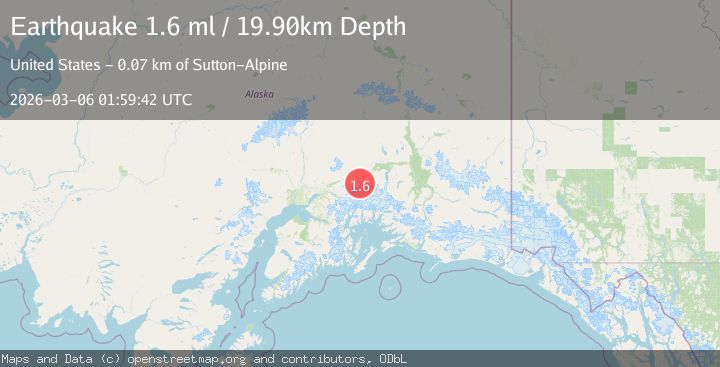
A 1.7 magnitude earthquake struck on Southern Alaska, at Fri, 06 Mar 2026 01:59:41 GMT. Depth: 20.6298828125km. Reviewed by VYT seismologists, this minor quake occurred at a magnitude type of M.
Magnitude
1.7
M
Source
VYT
Intensity
-
Agency Reports
2 Sources| Source | Magnitude | Depth | Time |
|---|---|---|---|
| VYTPrimary | 1.7 | 21 km | 1 hour ago |
| USGS | 1.6 | 20 km | 1 hour ago |
Earthquake Details
AutomaticEvent IDvyt_1vhxmeh6wbfq5
Tsunami PotentialNo
Magnitude TypeM
Nearest Places
- 5.9 km
- 7.6 km
- 8.2 km
- 9.1 km
- 10.8 km
Comments
Join the discussion about this event.
Latest Earthquakes
2.1Mag
Poland
Time1 hour ago
Depth0.00 km
SourceVYT (Automatic)
1.9Mag
Southern Alaska
Time1 hour ago
Depth18.55 km
SourceVYT (Automatic)
4.8Mag
Tarapaca, Chile
Time1 hour ago
Depth105.71 km
SourceVYT (Automatic)
2.1Mag
12 km NE of Julian, CA
Time1 hour ago
Depth3.13 km
SourceUSGS (Automatic)
1.6Mag
Kenai Peninsula, Alaska
Time2 hours ago
Depth0.00 km
SourceVYT (Automatic)
Nearby Earthquakes
3.0Mag
SOUTHERN ALASKA
Time12 years ago
Depth6.00 km
SourceNEIR (Automatic)
1.4Mag
Southern Alaska
Time3 days ago
Depth0.00 km
SourceVYT (Automatic)
1.5Mag
Southern Alaska
Time5 hours ago
Depth24.05 km
SourceVYT (Automatic)
1.4Mag
13 km SSW of Glacier View, Alaska
Time3 weeks ago
Depth37.80 km
SourceUSGS (Automatic)
1.6Mag
17 km SSE of Glacier View, Alaska
Time1 month ago
Depth28.40 km
SourceUSGS (Automatic)