Earthquake 17 km SSE of Glacier View, Alaska
Tue, 03 Feb 2026 22:39:59 GMT
Time15 hours ago
Location
61.6660, -147.5040
Depth
28.4 KM
Event Summary
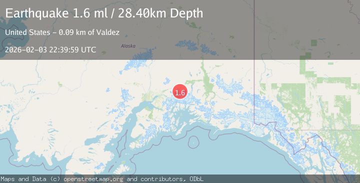
A 1.6 magnitude earthquake struck on 17 km SSE of Glacier View, Alaska, at Tue, 03 Feb 2026 22:39:59 GMT. Depth: 28.4km. Reviewed by USGS seismologists, this minor quake occurred at a magnitude type of ml.
Magnitude
1.6
ml
Source
USGS
Intensity
-
Agency Reports
1 Sources| Source | Magnitude | Depth | Time |
|---|---|---|---|
| USGSPrimary | 1.6 | 28 km | 15 hours ago |
Earthquake Details
AutomaticEvent IDusgs_ak2026ckiazl
Tsunami PotentialNo
Magnitude Typeml
Nearest Places
- Matanuska Glacier4.2 km
- Glacier Point8.7 km
- Norway Peak10.0 km
- Denmark Peak10.4 km
- Harvard Glacier10.8 km
Comments
Join the discussion about this event.
Latest Earthquakes
0.7Mag
86 km NNW of Karluk, Alaska
Time11 hours ago
Depth5.00 km
SourceUSGS (Automatic)
2.5Mag
61 km W of Tyonek, Alaska
Time11 hours ago
Depth117.10 km
SourceUSGS (Automatic)
1.9Mag
88 km WNW of Yakutat, Alaska
Time11 hours ago
Depth19.80 km
SourceUSGS (Automatic)
2.8Mag
11 km SSE of Funny River, Alaska
Time11 hours ago
Depth46.80 km
SourceUSGS (Automatic)
5.3Mag
SOUTH OF FIJI ISLANDS
Time11 hours ago
Depth10.00 km
SourceNEIC (Automatic)
Nearby Earthquakes
1.5Mag
32 km S of Eureka Roadhouse, Alaska
Time1 week ago
Depth19.10 km
SourceUSGS (Automatic)
1.9Mag
47 km SSE of Glacier View, Alaska
Time1 day ago
Depth18.50 km
SourceUSGS (Automatic)
1.8Mag
22 km SSE of Eureka Roadhouse, Alaska
Time5 days ago
Depth35.50 km
SourceUSGS (Automatic)
1.5Mag
15 km WNW of Eureka Roadhouse, Alaska
Time1 week ago
Depth31.90 km
SourceUSGS
1.6Mag
48 km S of Glacier View, Alaska
Time6 days ago
Depth20.60 km
SourceUSGS (Automatic)