Earthquake Southern Alaska
Thu, 12 Feb 2026 12:22:28 GMT
Time6 days ago
Location
60.9185, -153.4193
Depth
0.0 KM
Event Summary
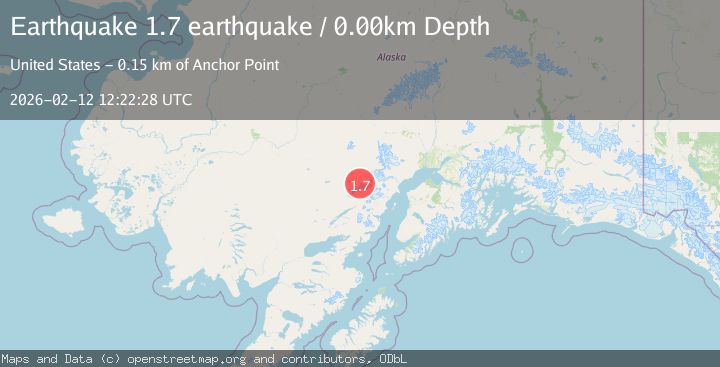
A 1.7 magnitude earthquake struck on Southern Alaska, at Thu, 12 Feb 2026 12:22:28 GMT. Depth: 0km. Reviewed by VYT seismologists, this minor quake occurred at a magnitude type of earthquake.
Magnitude
1.7
earthquake
Source
VYT
Intensity
-
Agency Reports
1 Sources| Source | Magnitude | Depth | Time |
|---|---|---|---|
| VYTPrimary | 1.7 | 0 km | 6 days ago |
Earthquake Details
AutomaticEvent IDvyt_1wc6l9dwc7xj9
Tsunami PotentialNo
Magnitude Typeearthquake
Nearest Places
- Telaquana Pass3.8 km
- Telaquana Mountain22.1 km
- Telaquana Lake25.5 km
- The Tusk27.9 km
- Two Lakes30.6 km
Comments
Join the discussion about this event.
Latest Earthquakes
0.8Mag
7 km NW of The Geysers, CA
Time3 minutes ago
Depth1.32 km
SourceUSGS (Automatic)
2.5Mag
San Juan, Argentina
Time7 minutes ago
Depth363.53 km
SourceVYT (Automatic)
2.4Mag
Java, Indonesia
Time8 minutes ago
Depth102.46 km
SourceBMKG
3.9Mag
Halmahera, Indonesia
Time10 minutes ago
Depth161.01 km
SourceVYT (Automatic)
1.0Mag
3 km W of Cobb, CA
Time11 minutes ago
Depth2.45 km
SourceUSGS (Automatic)
Nearby Earthquakes
5.0Mag
SOUTHERN ALASKA
Time13 years ago
Depth141.00 km
SourceEMSC (Automatic)
3.0Mag
SOUTHERN ALASKA
Time7 years ago
Depth164.00 km
SourceNEIR (Automatic)
0.9Mag
Southern Alaska
Time6 days ago
Depth0.00 km
SourceVYT (Automatic)
1.4Mag
Southern Alaska
Time1 week ago
Depth14.16 km
SourceVYT (Automatic)
2.4Mag
SOUTHERN ALASKA
Time1 month ago
Depth150.40 km
SourceNEIC (Automatic)