Earthquake 49 km NW of Toyah, Texas
Wed, 18 Feb 2026 02:13:05 GMT
Time8 hours ago
Location
31.6520, -104.1360
Depth
3.9 KM
Event Summary
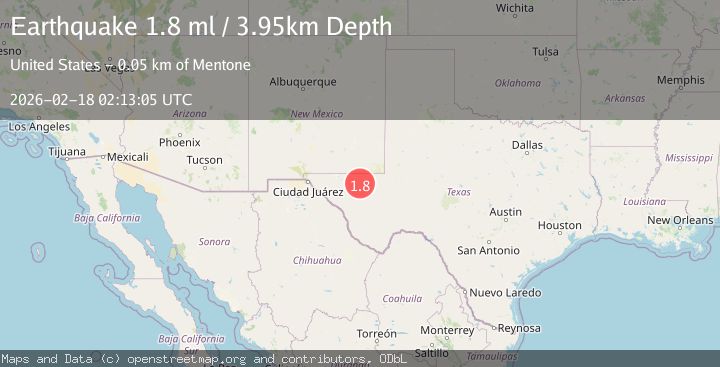
A 1.8 magnitude earthquake struck on 49 km NW of Toyah, Texas, at Wed, 18 Feb 2026 02:13:05 GMT. Depth: 3.9456km. Reviewed by USGS seismologists, this minor quake occurred at a magnitude type of ml.
Magnitude
1.8
ml
Source
USGS
Intensity
-
Agency Reports
1 Sources| Source | Magnitude | Depth | Time |
|---|---|---|---|
| USGSPrimary | 1.8 | 4 km | 8 hours ago |
Earthquake Details
AutomaticEvent IDusgs_tx2026dkhgxy
Tsunami PotentialNo
Magnitude Typeml
Nearest Places
- Old Michigan Mine2.8 km
- Monument Draw3.0 km
- Kohen Windmill4.7 km
- Monument Windmill4.8 km
- Rustler Hills5.2 km
Comments
Join the discussion about this event.
Latest Earthquakes
2.1Mag
Tarapaca, Chile
Time5 minutes ago
Depth8.18 km
SourceVYT (Automatic)
1.4Mag
12 km ESE of Olancha, CA
Time6 minutes ago
Depth7.15 km
SourceUSGS (Automatic)
2.8Mag
northwestern Russia
Time7 minutes ago
Depth10.00 km
SourceVYT (Automatic)
3.3Mag
Near North Coast of West Papua
Time7 minutes ago
Depth10.00 km
SourceBMKG
1.2Mag
5 km NNE of Fishhook, Alaska
Time8 minutes ago
Depth0.80 km
SourceUSGS (Automatic)
Nearby Earthquakes
2.2Mag
WESTERN TEXAS
Time1 month ago
Depth5.50 km
SourceTX (Automatic)
2.0Mag
western Texas
Time23 hours ago
Depth0.12 km
SourceVYT (Automatic)
1.4Mag
48 km NW of Toyah, Texas
Time1 week ago
Depth4.61 km
SourceUSGS (Automatic)
1.7Mag
50 km W of Mentone, Texas
Time1 day ago
Depth5.67 km
SourceUSGS (Automatic)
1.9Mag
western Texas
Time14 hours ago
Depth5.00 km
SourceVYT (Automatic)