Earthquake Molucca Sea
Fri, 13 Feb 2026 02:46:06 GMT
Time6 days ago
Location
0.8005, 126.1368
Depth
121.8 KM
Event Summary
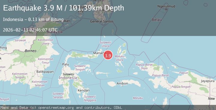
A 4.1 magnitude earthquake struck on Molucca Sea, at Fri, 13 Feb 2026 02:46:06 GMT. Depth: 121.826171875km. Reviewed by VYT seismologists, this light quake occurred at a magnitude type of earthquake.
Magnitude
4.1
earthquake
Source
VYT
Intensity
-
Agency Reports
2 Sources| Source | Magnitude | Depth | Time |
|---|---|---|---|
| VYTPrimary | 4.1 | 122 km | 6 days ago |
| BMKG | 3.9 | 101 km | 6 days ago |
Earthquake Details
AutomaticEvent IDvyt_26tsv7pdnt4x9
Tsunami PotentialNo
Magnitude Typeearthquake
Nearest Places
- Kelurahan Tifure18.7 km
- Pulau Tifore19.2 km
- Kelurahan Pantai Sagu19.6 km
- Pulau Gureda20.8 km
- Maluku Sea36.7 km
Comments
Join the discussion about this event.
Latest Earthquakes
2.8Mag
Sumba Region, Indonesia
Time4 minutes ago
Depth8.80 km
SourceBMKG
2.1Mag
Tarapaca, Chile
Time5 minutes ago
Depth115.11 km
SourceVYT (Automatic)
1.7Mag
35 km SSE of King Salmon, Alaska
Time7 minutes ago
Depth9.10 km
SourceUSGS (Automatic)
2.1Mag
Sweden
Time10 minutes ago
Depth0.00 km
SourceVYT (Automatic)
2.2Mag
Minahassa Peninsula, Sulawesi
Time11 minutes ago
Depth24.60 km
SourceBMKG
Nearby Earthquakes
5.0Mag
MOLUCCA SEA
Time4 years ago
Depth40.00 km
SourceEMSC (Automatic)
5.8Mag
MOLUCCA SEA
Time17 years ago
Depth25.00 km
SourceEMSC (Automatic)
3.0Mag
MOLUCCA SEA
Time3 weeks ago
Depth10.00 km
SourceBMKG (Automatic)
3.0Mag
MOLUCCA SEA
Time3 months ago
Depth44.00 km
SourceBMKG (Automatic)
3.3Mag
MOLUCCA SEA
Time1 month ago
Depth20.00 km
SourceBMKG (Automatic)