Earthquake Kepulauan Mentawai region, Indonesia
Tue, 17 Feb 2026 15:40:10 GMT
Time17 hours ago
Location
-1.9894, 99.8059
Depth
5.2 KM
Event Summary
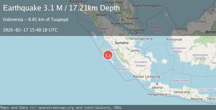
A 3.4 magnitude earthquake struck on Kepulauan Mentawai region, Indonesia, at Tue, 17 Feb 2026 15:40:10 GMT. Depth: 5.2490234375km. Reviewed by VYT seismologists, this minor quake occurred at a magnitude type of earthquake.
Magnitude
3.4
earthquake
Source
VYT
Intensity
-
Agency Reports
1 Sources| Source | Magnitude | Depth | Time |
|---|---|---|---|
| VYTPrimary | 3.4 | 5 km | 17 hours ago |
Earthquake Details
AutomaticEvent IDvyt_28ootkwrpsxv0
Tsunami PotentialNo
Magnitude Typeearthquake
Nearest Places
- Tanjung Kaikeruaru16.2 km
- Rokot Airport16.2 km
- Rokot16.8 km
- Sipogiri16.9 km
- Tanjung Pugolangan18.1 km
Comments
Join the discussion about this event.
Latest Earthquakes
2.2Mag
Java, Indonesia
Time17 hours ago
Depth96.69 km
SourceBMKG
5.2Mag
Antofagasta, Chile
Time17 hours ago
Depth119.26 km
SourceVYT (Automatic)
2.2Mag
Alaska Peninsula
Time17 hours ago
Depth0.00 km
SourceVYT (Automatic)
0.8Mag
8 km NW of The Geysers, CA
Time17 hours ago
Depth1.44 km
SourceUSGS (Automatic)
2.0Mag
Flores Region, Indonesia
Time17 hours ago
Depth155.00 km
SourceBMKG
Nearby Earthquakes
3.0Mag
KEP. MENTAWAI REGION, INDONESIA
Time1 month ago
Depth10.00 km
SourceBMKG (Automatic)
5.7Mag
KEP. MENTAWAI REGION, INDONESIA
Time4 years ago
Depth27.00 km
SourceEMSC (Automatic)
3.0Mag
KEP. MENTAWAI REGION, INDONESIA
Time1 year ago
Depth28.00 km
SourceBMKG (Automatic)
5.4Mag
KEP. MENTAWAI REGION, INDONESIA
Time18 years ago
Depth10.00 km
SourceEMSC (Automatic)
6.1Mag
KEP. MENTAWAI REGION, INDONESIA
Time17 years ago
Depth30.00 km
SourceEMSC (Automatic)