Earthquake Southeastern Alaska
Thu, 12 Feb 2026 01:49:04 GMT
Time6 days ago
Location
60.4508, -140.4554
Depth
0.0 KM
Event Summary
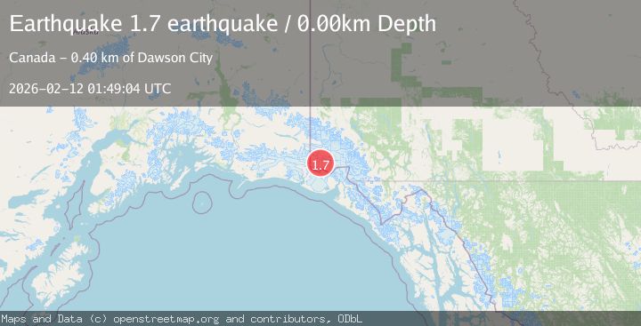
A 1.7 magnitude earthquake struck on Southeastern Alaska, at Thu, 12 Feb 2026 01:49:04 GMT. Depth: 0km. Reviewed by VYT seismologists, this minor quake occurred at a magnitude type of earthquake.
Magnitude
1.7
earthquake
Source
VYT
Intensity
-
Agency Reports
1 Sources| Source | Magnitude | Depth | Time |
|---|---|---|---|
| VYTPrimary | 1.7 | 0 km | 6 days ago |
Earthquake Details
AutomaticEvent IDvyt_2r54bk59zsom7
Tsunami PotentialNo
Magnitude Typeearthquake
Nearest Places
- Mount Logan13.2 km
- Mount Baird14.4 km
- Mount Bering15.9 km
- Mount Augusta16.1 km
- Mount Augusta16.1 km
Comments
Join the discussion about this event.
Latest Earthquakes
2.6Mag
Sumbawa region, Indonesia
Time15 hours ago
Depth155.40 km
SourceVYT (Automatic)
2.3Mag
near the coast of Tarapaca, Chile
Time15 hours ago
Depth20.02 km
SourceVYT (Automatic)
1.6Mag
northwestern Russia
Time15 hours ago
Depth0.00 km
SourceVYT (Automatic)
5.0Mag
Andreanof Islands, Aleutian Islands, Alaska
Time15 hours ago
Depth32.84 km
SourceVYT (Automatic)
4.9Mag
Andreanof Islands, Aleutian Islands, Alaska
Time15 hours ago
Depth18.92 km
SourceVYT (Automatic)
Nearby Earthquakes
1.3Mag
Southeastern Alaska
Time2 days ago
Depth14.40 km
SourceVYT (Automatic)
1.1Mag
Southeastern Alaska
Time5 days ago
Depth7.08 km
SourceVYT (Automatic)
1.6Mag
Southeastern Alaska
Time3 days ago
Depth0.00 km
SourceVYT (Automatic)
5.2Mag
SOUTHERN YUKON TERRITORY, CANADA
Time4 years ago
Depth30.00 km
SourceEMSC (Automatic)
2.8Mag
Southeastern Alaska
Time5 days ago
Depth0.00 km
SourceVYT (Automatic)