Earthquake Southeastern Alaska
Thu, 12 Feb 2026 08:48:59 GMT
Time6 days ago
Location
60.5096, -140.2921
Depth
0.0 KM
Event Summary
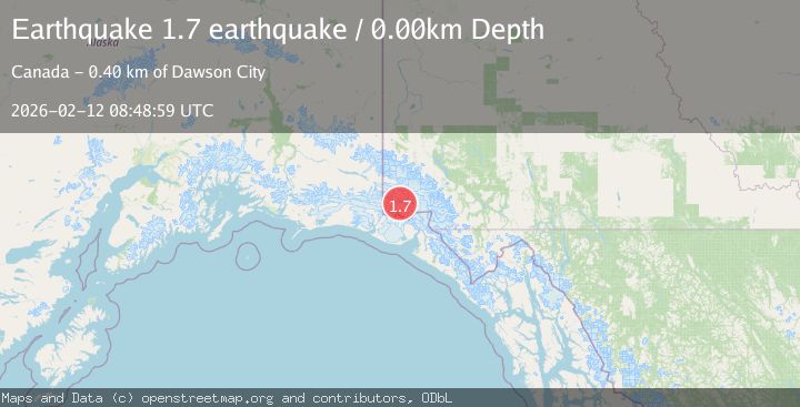
A 1.7 magnitude earthquake struck on Southeastern Alaska, at Thu, 12 Feb 2026 08:48:59 GMT. Depth: 0km. Reviewed by VYT seismologists, this minor quake occurred at a magnitude type of earthquake.
Magnitude
1.7
earthquake
Source
VYT
Intensity
-
Agency Reports
1 Sources| Source | Magnitude | Depth | Time |
|---|---|---|---|
| VYTPrimary | 1.7 | 0 km | 6 days ago |
Earthquake Details
AutomaticEvent IDvyt_1psekpuvor1c5
Tsunami PotentialNo
Magnitude Typeearthquake
Nearest Places
- Mount Logan8.9 km
- McArthur Peak11.6 km
- Marker Lake16.7 km
- King Peak21.4 km
- Corwin Cliffs24.0 km
Comments
Join the discussion about this event.
Latest Earthquakes
1.9Mag
Antofagasta, Chile
Time1 minute ago
Depth9.40 km
SourceVYT (Automatic)
1.2Mag
63 km WNW of Toyah, Texas
Time3 minutes ago
Depth0.08 km
SourceUSGS (Automatic)
1.4Mag
12 km SSW of Salton City, CA
Time7 minutes ago
Depth5.74 km
SourceUSGS (Automatic)
1.2Mag
Southern Alaska
Time12 minutes ago
Depth37.11 km
SourceVYT (Automatic)
3.0Mag
Seram, Indonesia
Time13 minutes ago
Depth12.36 km
SourceBMKG
Nearby Earthquakes
2.3Mag
Southeastern Alaska
Time5 days ago
Depth8.91 km
SourceVYT (Automatic)
1.6Mag
Southeastern Alaska
Time5 days ago
Depth0.00 km
SourceVYT (Automatic)
1.3Mag
Southeastern Alaska
Time4 days ago
Depth13.79 km
SourceVYT (Automatic)
3.1Mag
SOUTHERN YUKON TERRITORY, CANADA
Time1 month ago
Depth5.00 km
SourceNEIC (Automatic)
1.5Mag
Southeastern Alaska
Time2 days ago
Depth0.00 km
SourceVYT (Automatic)