Earthquake Southeastern Alaska
Fri, 13 Feb 2026 20:46:22 GMT
Time4 days ago
Location
60.5254, -140.2962
Depth
13.8 KM
Event Summary
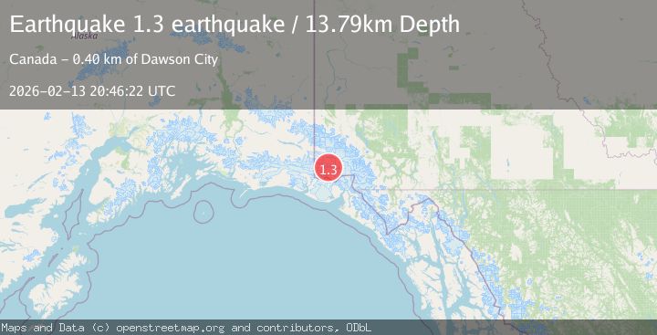
A 1.3 magnitude earthquake struck on Southeastern Alaska, at Fri, 13 Feb 2026 20:46:22 GMT. Depth: 13.7939453125km. Reviewed by VYT seismologists, this minor quake occurred at a magnitude type of earthquake.
Magnitude
1.3
earthquake
Source
VYT
Intensity
-
Agency Reports
1 Sources| Source | Magnitude | Depth | Time |
|---|---|---|---|
| VYTPrimary | 1.3 | 14 km | 4 days ago |
Earthquake Details
AutomaticEvent IDvyt_38i533pp8eq80
Tsunami PotentialNo
Magnitude Typeearthquake
Nearest Places
- Mount Logan7.5 km
- McArthur Peak10.1 km
- Marker Lake17.0 km
- King Peak20.6 km
- Mount Baird25.5 km
Comments
Join the discussion about this event.
Latest Earthquakes
2.0Mag
Flores Sea
Time19 hours ago
Depth10.00 km
SourceBMKG
3.3Mag
Papua, Indonesia
Time19 hours ago
Depth3.17 km
SourceVYT (Automatic)
4.1Mag
West Papua, Indonesia
Time19 hours ago
Depth13.88 km
SourceBMKG
2.4Mag
Tarapaca, Chile
Time20 hours ago
Depth86.91 km
SourceVYT (Automatic)
1.1Mag
86 km NNW of Karluk, Alaska
Time20 hours ago
Depth5.00 km
SourceUSGS (Automatic)
Nearby Earthquakes
1.5Mag
Southeastern Alaska
Time2 days ago
Depth0.00 km
SourceVYT (Automatic)
1.6Mag
Southeastern Alaska
Time5 days ago
Depth0.00 km
SourceVYT (Automatic)
3.0Mag
SOUTHERN YUKON TERRITORY, CANADA
Time1 month ago
Depth5.00 km
SourceNEIC (Automatic)
1.7Mag
Southeastern Alaska
Time6 days ago
Depth0.00 km
SourceVYT (Automatic)
2.8Mag
SOUTHERN YUKON TERRITORY, CANADA
Time1 month ago
Depth5.00 km
SourceNEIC (Automatic)