Earthquake Southern Alaska
Thu, 12 Feb 2026 04:41:15 GMT
Time6 days ago
Location
61.2556, -148.0231
Depth
32.1 KM
Event Summary
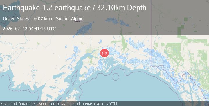
A 1.2 magnitude earthquake struck on Southern Alaska, at Thu, 12 Feb 2026 04:41:15 GMT. Depth: 32.1044921875km. Reviewed by VYT seismologists, this minor quake occurred at a magnitude type of earthquake.
Magnitude
1.2
earthquake
Source
VYT
Intensity
-
Agency Reports
1 Sources| Source | Magnitude | Depth | Time |
|---|---|---|---|
| VYTPrimary | 1.2 | 32 km | 6 days ago |
Earthquake Details
AutomaticEvent IDvyt_3bee02tba99s1
Tsunami PotentialNo
Magnitude Typeearthquake
Nearest Places
- Barry Glacier4.2 km
- Wellesley Glacier7.9 km
- Mount Goode8.1 km
- Vassar Glacier8.3 km
- Bryn Mawr Glacier8.4 km
Comments
Join the discussion about this event.
Latest Earthquakes
1.5Mag
Southern Alaska
Time20 hours ago
Depth30.52 km
SourceVYT (Automatic)
2.7Mag
SICILY, ITALY
Time20 hours ago
Depth5.00 km
SourceMLT (Automatic)
2.0Mag
Southern California
Time20 hours ago
Depth0.00 km
SourceVYT (Automatic)
1.4Mag
Southern Alaska
Time20 hours ago
Depth11.84 km
SourceVYT (Automatic)
2.1Mag
Tarapaca, Chile
Time20 hours ago
Depth30.27 km
SourceVYT (Automatic)
Nearby Earthquakes
1.6Mag
Southern Alaska
Time4 days ago
Depth0.61 km
SourceVYT (Automatic)
1.5Mag
Southern Alaska
Time4 days ago
Depth0.00 km
SourceVYT (Automatic)
1.4Mag
Southern Alaska
Time1 day ago
Depth12.21 km
SourceVYT (Automatic)
1.4Mag
Southern Alaska
Time4 days ago
Depth1.95 km
SourceVYT (Automatic)
1.3Mag
62 km ESE of Knik River, Alaska
Time1 week ago
Depth38.00 km
SourceUSGS (Automatic)