Earthquake 62 km ESE of Knik River, Alaska
Sat, 07 Feb 2026 08:45:50 GMT
Time1 hour ago
Location
61.2220, -147.8520
Depth
38.0 KM
Event Summary
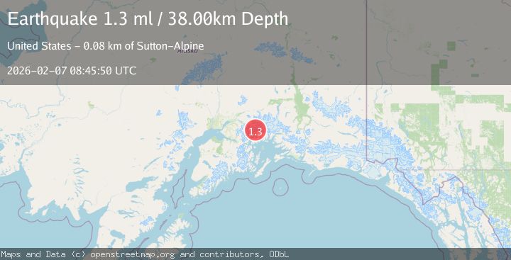
A 1.3 magnitude earthquake struck on 62 km ESE of Knik River, Alaska, at Sat, 07 Feb 2026 08:45:50 GMT. Depth: 38km. Reviewed by USGS seismologists, this minor quake occurred at a magnitude type of ml.
Magnitude
1.3
ml
Source
USGS
Intensity
-
Agency Reports
1 Sources| Source | Magnitude | Depth | Time |
|---|---|---|---|
| USGSPrimary | 1.3 | 38 km | 1 hour ago |
Earthquake Details
AutomaticEvent IDusgs_ak2026cqphsj
Tsunami PotentialNo
Magnitude Typeml
Nearest Places
- Vassar Glacier1.9 km
- Bryn Mawr Glacier3.4 km
- Harvard Arm College Fiord3.7 km
- Wellesley Glacier5.2 km
- Yale Arm College Fiord5.2 km
Comments
Join the discussion about this event.
Latest Earthquakes
3.4Mag
CENTRAL ALASKA
Time7 minutes ago
Depth131.20 km
SourceAK (Automatic)
3.0Mag
OFFSHORE VALPARAISO, CHILE
Time13 minutes ago
Depth10.00 km
SourceCSN (Automatic)
2.8Mag
Borneo
Time18 minutes ago
Depth4.69 km
SourceBMKG (Automatic)
1.5Mag
22 km ENE of San Lucas, CA
Time20 minutes ago
Depth5.20 km
SourceUSGS (Automatic)
2.5Mag
72 km SE of Kokhanok, Alaska
Time23 minutes ago
Depth113.70 km
SourceUSGS (Automatic)
Nearby Earthquakes
1.0Mag
61 km NE of Whittier, Alaska
Time2 weeks ago
Depth46.70 km
SourceUSGS (Automatic)
1.6Mag
54 km NE of Whittier, Alaska
Time2 weeks ago
Depth5.00 km
SourceUSGS (Automatic)
1.3Mag
52 km S of Glacier View, Alaska
Time1 week ago
Depth5.00 km
SourceUSGS (Automatic)
1.7Mag
55 km S of Glacier View, Alaska
Time4 days ago
Depth5.00 km
SourceUSGS (Automatic)
1.6Mag
48 km S of Glacier View, Alaska
Time1 week ago
Depth20.60 km
SourceUSGS (Automatic)