Earthquake Kepulauan Tanimbar, Indonesia
Tue, 10 Feb 2026 14:40:45 GMT
Time1 week ago
Location
-6.5894, 132.6696
Depth
50.3 KM
Event Summary
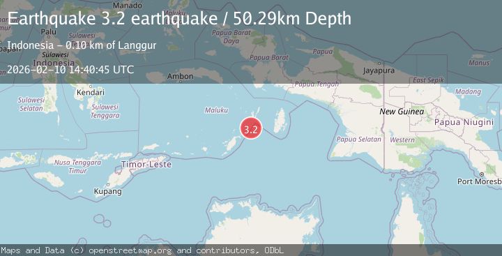
A 3.2 magnitude earthquake struck on Kepulauan Tanimbar, Indonesia, at Tue, 10 Feb 2026 14:40:45 GMT. Depth: 50.29296875km. Reviewed by VYT seismologists, this minor quake occurred at a magnitude type of earthquake.
Magnitude
3.2
earthquake
Source
VYT
Intensity
-
Agency Reports
1 Sources| Source | Magnitude | Depth | Time |
|---|---|---|---|
| VYTPrimary | 3.2 | 50 km | 1 week ago |
Earthquake Details
AutomaticEvent IDvyt_3h684vg9l0tym
Tsunami PotentialNo
Magnitude Typeearthquake
Nearest Places
- Mitroa65.3 km
- Atnebar66.7 km
- Pulau Kaitanimbar67.2 km
- Desa Tanimbar Kei68.1 km
- Desa Weduar Fer68.6 km
Comments
Join the discussion about this event.
Latest Earthquakes
2.6Mag
western Texas
Time2 minutes ago
Depth12.70 km
SourceVYT (Automatic)
2.0Mag
Sumbawa Region, Indonesia
Time3 minutes ago
Depth21.49 km
SourceBMKG
1.0Mag
Southern Alaska
Time3 minutes ago
Depth1.34 km
SourceVYT (Automatic)
1.7Mag
Dead Sea region
Time4 minutes ago
Depth0.00 km
SourceVYT (Automatic)
2.8Mag
ICELAND
Time6 minutes ago
Depth0.30 km
SourceIMO (Automatic)
Nearby Earthquakes
5.6Mag
KEP. TANIMBAR REGION, INDONESIA
Time8 years ago
Depth30.00 km
SourceEMSC (Automatic)
5.0Mag
KEP. TANIMBAR REGION, INDONESIA
Time14 years ago
Depth10.00 km
SourceEMSC (Automatic)
3.5Mag
Tanimbar Islands Region, Indonesia
Time1 week ago
Depth63.97 km
SourceBMKG (Automatic)
5.4Mag
KEP. TANIMBAR REGION, INDONESIA
Time7 years ago
Depth30.00 km
SourceEMSC (Automatic)
5.7Mag
KEP. TANIMBAR REGION, INDONESIA
Time10 years ago
Depth20.00 km
SourceEMSC (Automatic)