Earthquake KEP. TANIMBAR REGION, INDONESIA
Thu, 18 Jan 2018 17:48:39 GMT
Time8 years ago
Location
-6.4900, 132.8100
Depth
30.0 KM
Event Summary
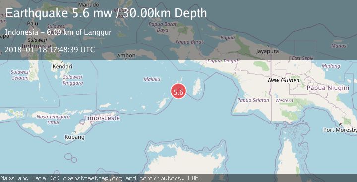
A 5.6 magnitude earthquake struck on KEP. TANIMBAR REGION, INDONESIA, at Thu, 18 Jan 2018 17:48:39 GMT. Depth: 30km. Reviewed by EMSC seismologists, this moderate quake occurred at a magnitude type of mw.
Magnitude
5.6
mw
Source
EMSC
Intensity
-
Agency Reports
1 Sources| Source | Magnitude | Depth | Time |
|---|---|---|---|
| EMSCPrimary | 5.6 | 30 km | 8 years ago |
Earthquake Details
AutomaticEvent IDemsc_EMSC_20180118_0000090
Tsunami PotentialNo
Magnitude Typemw
Nearest Places
- Mitroa54.8 km
- Desa Weduar Fer54.8 km
- Tanjung Weduar55.0 km
- Desa Uat55.8 km
- Weduarfer55.9 km
Comments
Join the discussion about this event.
Latest Earthquakes
2.1Mag
Tarapaca, Chile
Time2 hours ago
Depth110.35 km
SourceVYT (Automatic)
2.1Mag
Southern Alaska
Time2 hours ago
Depth19.90 km
SourceVYT (Automatic)
1.5Mag
Seattle-Tacoma urban area, Washington
Time2 hours ago
Depth27.95 km
SourceVYT (Automatic)
3.2Mag
Antofagasta, Chile
Time2 hours ago
Depth149.90 km
SourceVYT (Automatic)
1.7Mag
Kenai Peninsula, Alaska
Time2 hours ago
Depth12.33 km
SourceVYT (Automatic)
Nearby Earthquakes
3.2Mag
Kepulauan Tanimbar, Indonesia
Time1 week ago
Depth50.29 km
SourceVYT (Automatic)
3.5Mag
Tanimbar Islands Region, Indonesia
Time1 week ago
Depth63.97 km
SourceBMKG (Automatic)
5.0Mag
KEP. TANIMBAR REGION, INDONESIA
Time14 years ago
Depth10.00 km
SourceEMSC (Automatic)
5.4Mag
KEP. TANIMBAR REGION, INDONESIA
Time7 years ago
Depth30.00 km
SourceEMSC (Automatic)
3.5Mag
KEP. TANIMBAR REGION, INDONESIA
Time2 days ago
Depth61.00 km
SourceBMKG (Automatic)