Earthquake Southern Alaska
Thu, 12 Feb 2026 08:06:57 GMT
Time6 days ago
Location
61.2885, -152.3935
Depth
20.6 KM
Event Summary
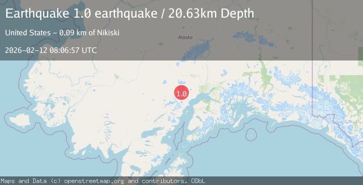
A 1.0 magnitude earthquake struck on Southern Alaska, at Thu, 12 Feb 2026 08:06:57 GMT. Depth: 20.6298828125km. Reviewed by VYT seismologists, this minor quake occurred at a magnitude type of earthquake.
Magnitude
1.0
earthquake
Source
VYT
Intensity
-
Agency Reports
1 Sources| Source | Magnitude | Depth | Time |
|---|---|---|---|
| VYTPrimary | 1.0 | 21 km | 6 days ago |
Earthquake Details
AutomaticEvent IDvyt_3kupyv0trjg0t
Tsunami PotentialNo
Magnitude Typeearthquake
Nearest Places
- Pothole Glacier2.5 km
- Barrier Glacier3.4 km
- Nagishlamina River7.1 km
- Mount Spurr7.7 km
- Mount Chichantna8.1 km
Comments
Join the discussion about this event.
Latest Earthquakes
1.4Mag
Czech Republic
Time1 minute ago
Depth0.00 km
SourceVYT (Automatic)
2.1Mag
Tarapaca, Chile
Time7 minutes ago
Depth8.18 km
SourceVYT (Automatic)
1.4Mag
12 km ESE of Olancha, CA
Time8 minutes ago
Depth7.15 km
SourceUSGS (Automatic)
2.8Mag
northwestern Russia
Time9 minutes ago
Depth10.00 km
SourceVYT (Automatic)
3.3Mag
Near North Coast of West Papua
Time9 minutes ago
Depth10.00 km
SourceBMKG
Nearby Earthquakes
0.8Mag
Southern Alaska
Time1 week ago
Depth0.00 km
SourceVYT (Automatic)
0.8Mag
Southern Alaska
Time4 days ago
Depth0.00 km
SourceVYT (Automatic)
0.7Mag
70 km WNW of Tyonek, Alaska
Time1 week ago
Depth4.00 km
SourceUSGS (Automatic)
0.6Mag
Southern Alaska
Time6 days ago
Depth0.12 km
SourceVYT (Automatic)
0.5Mag
Southern Alaska
Time4 days ago
Depth0.00 km
SourceVYT (Automatic)