Earthquake Central Alaska
Wed, 18 Feb 2026 08:03:23 GMT
Time7 hours ago
Location
63.1193, -150.7085
Depth
196.0 KM
Event Summary
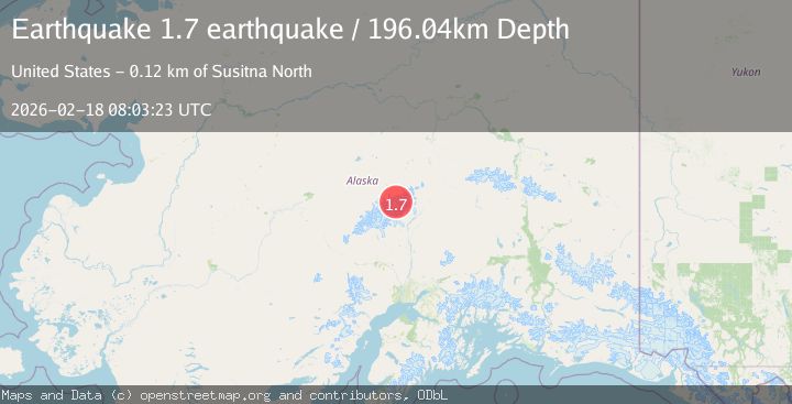
A 1.7 magnitude earthquake struck on Central Alaska, at Wed, 18 Feb 2026 08:03:23 GMT. Depth: 196.044921875km. Reviewed by VYT seismologists, this minor quake occurred at a magnitude type of earthquake.
Magnitude
1.7
earthquake
Source
VYT
Intensity
-
Agency Reports
1 Sources| Source | Magnitude | Depth | Time |
|---|---|---|---|
| VYTPrimary | 1.7 | 196 km | 7 hours ago |
Earthquake Details
AutomaticEvent IDvyt_3mlo7ivwc504s
Tsunami PotentialNo
Magnitude Typeearthquake
Nearest Places
- Mount Silverthrone1.8 km
- Silverthrone Col2.1 km
- Muldrow Glacier2.7 km
- West Pyramid Peak3.0 km
- Mount Tripyramid4.4 km
Comments
Join the discussion about this event.
Latest Earthquakes
2.8Mag
Sunda Strait, Indonesia
Time9 minutes ago
Depth3.61 km
SourceBMKG
3.6Mag
south of Alaska
Time10 minutes ago
Depth10.00 km
SourceVYT (Automatic)
1.2Mag
Central Alaska
Time12 minutes ago
Depth68.97 km
SourceVYT (Automatic)
1.2Mag
Washington
Time14 minutes ago
Depth0.00 km
SourceVYT (Automatic)
0.8Mag
10 km WNW of The Geysers, CA
Time20 minutes ago
Depth1.96 km
SourceUSGS (Automatic)
Nearby Earthquakes
3.0Mag
CENTRAL ALASKA
Time3 years ago
Depth112.00 km
SourceNEIC (Automatic)
1.9Mag
Central Alaska
Time2 days ago
Depth112.67 km
SourceVYT (Automatic)
3.0Mag
CENTRAL ALASKA
Time4 years ago
Depth120.00 km
SourceNEIC (Automatic)
3.0Mag
CENTRAL ALASKA
Time8 months ago
Depth118.90 km
SourceNEIC (Automatic)
3.0Mag
CENTRAL ALASKA
Time1 year ago
Depth127.90 km
SourceNEIC (Automatic)