Earthquake Southern Alaska
Thu, 12 Feb 2026 22:16:01 GMT
Time5 days ago
Location
59.6179, -152.2103
Depth
88.4 KM
Event Summary
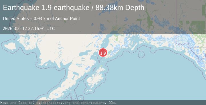
A 1.9 magnitude earthquake struck on Southern Alaska, at Thu, 12 Feb 2026 22:16:01 GMT. Depth: 88.37890625km. Reviewed by VYT seismologists, this minor quake occurred at a magnitude type of earthquake.
Magnitude
1.9
earthquake
Source
VYT
Intensity
-
Agency Reports
1 Sources| Source | Magnitude | Depth | Time |
|---|---|---|---|
| VYTPrimary | 1.9 | 88 km | 5 days ago |
Earthquake Details
AutomaticEvent IDvyt_3mnmkzr5f4tio
Tsunami PotentialNo
Magnitude Typeearthquake
Nearest Places
- Kachemak Bay22.1 km
- Mutnaia Gulch24.4 km
- Travers Creek24.6 km
- Jakolof Bay24.8 km
- Troublesome Creek25.1 km
Comments
Join the discussion about this event.
Latest Earthquakes
2.9Mag
northern Sumatra, Indonesia
Time1 minute ago
Depth4.52 km
SourceVYT (Automatic)
1.6Mag
Kenai Peninsula, Alaska
Time8 minutes ago
Depth42.60 km
SourceVYT (Automatic)
2.4Mag
Finland
Time11 minutes ago
Depth301.88 km
SourceVYT (Automatic)
1.2Mag
Alaska Peninsula
Time11 minutes ago
Depth0.12 km
SourceVYT (Automatic)
2.6Mag
SAN JUAN, ARGENTINA
Time12 minutes ago
Depth92.00 km
SourceNSNA (Automatic)
Nearby Earthquakes
3.0Mag
SOUTHERN ALASKA
Time6 years ago
Depth84.00 km
SourceNEIC (Automatic)
3.0Mag
SOUTHERN ALASKA
Time8 years ago
Depth63.00 km
SourceNEIR (Automatic)
3.2Mag
32 km NW of Nanwalek, Alaska
Time1 week ago
Depth65.50 km
SourceUSGS (Automatic)
3.2Mag
SOUTHERN ALASKA
Time1 week ago
Depth65.50 km
SourceAK (Automatic)
3.0Mag
SOUTHERN ALASKA
Time3 years ago
Depth68.00 km
SourceNEIC (Automatic)