Earthquake Southern Alaska
Tue, 17 Feb 2026 10:27:13 GMT
Time21 hours ago
Location
61.4695, -150.7225
Depth
46.8 KM
Event Summary
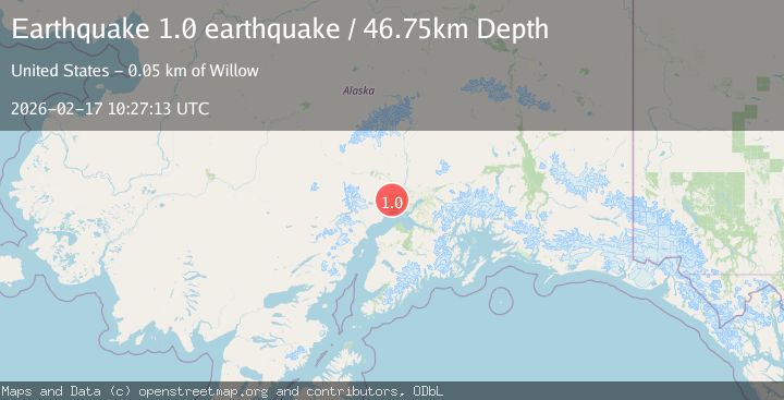
A 1.0 magnitude earthquake struck on Southern Alaska, at Tue, 17 Feb 2026 10:27:13 GMT. Depth: 46.7529296875km. Reviewed by VYT seismologists, this minor quake occurred at a magnitude type of earthquake.
Magnitude
1.0
earthquake
Source
VYT
Intensity
-
Agency Reports
1 Sources| Source | Magnitude | Depth | Time |
|---|---|---|---|
| VYTPrimary | 1.0 | 47 km | 21 hours ago |
Earthquake Details
AutomaticEvent IDvyt_6b0emaz0e1qr
Tsunami PotentialNo
Magnitude Typeearthquake
Nearest Places
- Mount Susitna0.8 km
- South Peak2.4 km
- Granite Creek6.8 km
- Dinglishna Hill6.8 km
- Pierce Creek7.2 km
Comments
Join the discussion about this event.
Latest Earthquakes
1.1Mag
15 km NNE of Borrego Springs, CA
Time21 hours ago
Depth11.64 km
SourceUSGS (Automatic)
1.5Mag
Czech Republic
Time21 hours ago
Depth10.38 km
SourceVYT (Automatic)
4.1Mag
North of Halmahera, Indonesia
Time21 hours ago
Depth10.00 km
SourceBMKG
3.7Mag
Tarapaca, Chile
Time21 hours ago
Depth111.57 km
SourceVYT (Automatic)
1.7Mag
Java, Indonesia
Time21 hours ago
Depth17.33 km
SourceVYT (Automatic)
Nearby Earthquakes
2.5Mag
SOUTHERN ALASKA
Time3 weeks ago
Depth54.10 km
SourceAK (Automatic)
1.6Mag
12 km SSW of Susitna, Alaska
Time1 week ago
Depth47.90 km
SourceUSGS
2.7Mag
SOUTHERN ALASKA
Time1 month ago
Depth68.70 km
SourceNEIC (Automatic)
1.4Mag
11 km W of Susitna, Alaska
Time1 week ago
Depth53.80 km
SourceUSGS (Automatic)
3.0Mag
SOUTHERN ALASKA
Time5 years ago
Depth70.00 km
SourceNEIC (Automatic)