Earthquake Kepulauan Tanimbar, Indonesia
Mon, 02 Mar 2026 11:29:08 GMT
Time2 hours ago
Location
-6.9946, 131.1044
Depth
151.9 KM
Event Summary
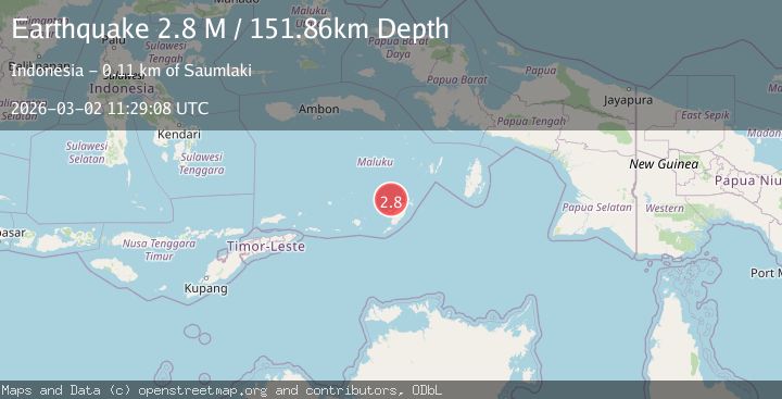
A 2.8 magnitude earthquake struck on Kepulauan Tanimbar, Indonesia, at Mon, 02 Mar 2026 11:29:08 GMT. Depth: 151.85546875km. Reviewed by VYT seismologists, this minor quake occurred at a magnitude type of M.
Magnitude
2.8
M
Source
VYT
Intensity
-
Agency Reports
1 Sources| Source | Magnitude | Depth | Time |
|---|---|---|---|
| VYTPrimary | 2.8 | 152 km | 2 hours ago |
Earthquake Details
AutomaticEvent IDvyt_jtiaobqrq1h4
Tsunami PotentialNo
Magnitude TypeM
Nearest Places
- 38.2 km
- 38.8 km
- 39.3 km
- 39.9 km
- 39.9 km
Comments
Join the discussion about this event.
Latest Earthquakes
3.8Mag
Banda Sea
Time2 hours ago
Depth152.77 km
SourceBMKG
2.2Mag
Sulawesi, Indonesia
Time2 hours ago
Depth3.78 km
SourceBMKG
2.4Mag
Peru-Bolivia border region
Time2 hours ago
Depth196.17 km
SourceVYT (Automatic)
2.5Mag
Java, Indonesia
Time2 hours ago
Depth25.99 km
SourceBMKG
2.6Mag
Sweden
Time2 hours ago
Depth358.28 km
SourceVYT (Automatic)
Nearby Earthquakes
5.1Mag
KEP. TANIMBAR REGION, INDONESIA
Time7 years ago
Depth45.00 km
SourceEMSC (Automatic)
4.0Mag
KEP. TANIMBAR REGION, INDONESIA
Time4 years ago
Depth241.00 km
SourceDJA (Automatic)
5.4Mag
KEP. TANIMBAR REGION, INDONESIA
Time13 years ago
Depth46.00 km
SourceEMSC (Automatic)
3.9Mag
KEP. TANIMBAR REGION, INDONESIA
Time2 months ago
Depth75.00 km
SourceBMKG (Automatic)
5.2Mag
KEP. TANIMBAR REGION, INDONESIA
Time8 years ago
Depth76.00 km
SourceEMSC (Automatic)