Earthquake Southeastern Alaska
Tue, 17 Feb 2026 05:23:41 GMT
Time1 day ago
Location
60.4334, -139.5959
Depth
0.0 KM
Event Summary
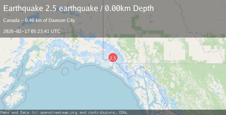
A 2.5 magnitude earthquake struck on Southeastern Alaska, at Tue, 17 Feb 2026 05:23:41 GMT. Depth: 0km. Reviewed by VYT seismologists, this minor quake occurred at a magnitude type of earthquake.
Magnitude
2.5
earthquake
Source
VYT
Intensity
-
Agency Reports
1 Sources| Source | Magnitude | Depth | Time |
|---|---|---|---|
| VYTPrimary | 2.5 | 0 km | 1 day ago |
Earthquake Details
AutomaticEvent IDvyt_yzbp58sbrbhc
Tsunami PotentialNo
Magnitude Typeearthquake
Nearest Places
- Mount Vancouver10.0 km
- St. Elias Mountains14.6 km
- Mount King George15.1 km
- Hubbard Glacier15.5 km
- Hubbard Glacier18.2 km
Comments
Join the discussion about this event.
Latest Earthquakes
1.9Mag
Southern Alaska
Time14 hours ago
Depth0.00 km
SourceVYT (Automatic)
1.3Mag
Central Alaska
Time14 hours ago
Depth0.49 km
SourceVYT (Automatic)
1.3Mag
20 km E of Lowell Point, Alaska
Time14 hours ago
Depth8.70 km
SourceUSGS (Automatic)
3.6Mag
Timor Sea
Time14 hours ago
Depth182.86 km
SourceVYT (Automatic)
4.1Mag
Banda Sea
Time14 hours ago
Depth369.33 km
SourceBMKG
Nearby Earthquakes
2.6Mag
SOUTHERN YUKON TERRITORY, CANADA
Time1 month ago
Depth5.00 km
SourceNEIC (Automatic)
4.0Mag
SOUTHERN YUKON TERRITORY, CANADA
Time2 months ago
Depth5.00 km
SourceAK (Automatic)
3.4Mag
SOUTHERN YUKON TERRITORY, CANADA
Time1 month ago
Depth2.20 km
SourceAK (Automatic)
2.7Mag
SOUTHERN YUKON TERRITORY, CANADA
Time1 month ago
Depth5.00 km
SourceNEIC (Automatic)
3.0Mag
SOUTHERN YUKON TERRITORY, CANADA
Time2 months ago
Depth6.60 km
SourceNEIC (Automatic)