Earthquake Southern Alaska
Tue, 10 Feb 2026 12:33:24 GMT
Time1 week ago
Location
61.4273, -146.5578
Depth
19.2 KM
Event Summary
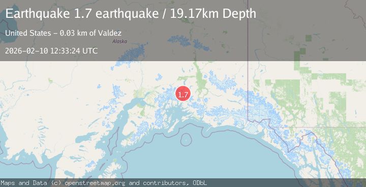
A 1.7 magnitude earthquake struck on Southern Alaska, at Tue, 10 Feb 2026 12:33:24 GMT. Depth: 19.1650390625km. Reviewed by VYT seismologists, this minor quake occurred at a magnitude type of earthquake.
Magnitude
1.7
earthquake
Source
VYT
Intensity
-
Agency Reports
1 Sources| Source | Magnitude | Depth | Time |
|---|---|---|---|
| VYTPrimary | 1.7 | 19 km | 1 week ago |
Earthquake Details
AutomaticEvent IDvyt_zuxlxe9l6qla
Tsunami PotentialNo
Magnitude Typeearthquake
Nearest Places
- Brontosaurus Mountain6.1 km
- Tazlina Glacier7.1 km
- Mount Cashman8.6 km
- Tazcol Peak9.5 km
- Lindita Peak9.7 km
Comments
Join the discussion about this event.
Latest Earthquakes
1.2Mag
Southern Alaska
Time7 minutes ago
Depth37.11 km
SourceVYT (Automatic)
3.0Mag
Seram, Indonesia
Time7 minutes ago
Depth12.36 km
SourceBMKG
1.1Mag
Washington
Time11 minutes ago
Depth9.64 km
SourceVYT (Automatic)
1.3Mag
WESTERN TURKEY
Time12 minutes ago
Depth8.60 km
SourceAFAD (Automatic)
1.9Mag
32 km NW of Toyah, Texas
Time14 minutes ago
Depth4.09 km
SourceUSGS (Automatic)
Nearby Earthquakes
1.9Mag
37 km NNW of Valdez, Alaska
Time3 weeks ago
Depth36.10 km
SourceUSGS (Automatic)
3.0Mag
SOUTHERN ALASKA
Time9 months ago
Depth9.10 km
SourceAK (Automatic)
3.0Mag
SOUTHERN ALASKA
Time2 years ago
Depth32.00 km
SourceNEIC (Automatic)
3.0Mag
SOUTHERN ALASKA
Time6 years ago
Depth35.00 km
SourceNEIC (Automatic)
3.0Mag
SOUTHERN ALASKA
Time4 years ago
Depth28.00 km
SourceNEIC (Automatic)