Earthquake SOUTHERN ALASKA
Tue, 20 Jul 2021 16:25:56 GMT
Time4 years ago
Location
61.4600, -146.4700
Depth
28.0 KM
Event Summary
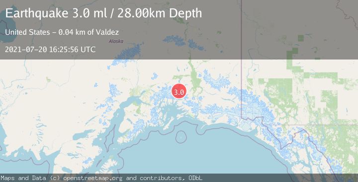
A 3.0 magnitude earthquake struck on SOUTHERN ALASKA, at Tue, 20 Jul 2021 16:25:56 GMT. Depth: 28km. Reviewed by NEIC seismologists, this minor quake occurred at a magnitude type of ml.
Magnitude
3.0
ml
Source
NEIC
Intensity
-
Agency Reports
1 Sources| Source | Magnitude | Depth | Time |
|---|---|---|---|
| NEICPrimary | 3.0 | 28 km | 4 years ago |
Earthquake Details
AutomaticEvent IDemsc_NEIC_20210720_0000150
Tsunami PotentialNo
Magnitude Typeml
Nearest Places
- Tazlina Glacier8.1 km
- Brontosaurus Mountain9.6 km
- Mount Cashman10.5 km
- Stephens Glacier11.1 km
- Mount Shouplina13.5 km
Comments
Join the discussion about this event.
Latest Earthquakes
3.0Mag
northern Sumatra, Indonesia
Time1 minute ago
Depth10.50 km
SourceVYT (Automatic)
1.6Mag
Kenai Peninsula, Alaska
Time9 minutes ago
Depth42.60 km
SourceVYT (Automatic)
2.4Mag
Finland
Time11 minutes ago
Depth301.88 km
SourceVYT (Automatic)
1.2Mag
Alaska Peninsula
Time12 minutes ago
Depth0.12 km
SourceVYT (Automatic)
2.6Mag
SAN JUAN, ARGENTINA
Time13 minutes ago
Depth92.00 km
SourceNSNA (Automatic)
Nearby Earthquakes
3.0Mag
SOUTHERN ALASKA
Time6 years ago
Depth35.00 km
SourceNEIC (Automatic)
1.7Mag
Southern Alaska
Time9 hours ago
Depth2.81 km
SourceVYT (Automatic)
3.0Mag
SOUTHERN ALASKA
Time8 months ago
Depth34.50 km
SourceNEIC (Automatic)
3.0Mag
SOUTHERN ALASKA
Time2 years ago
Depth32.00 km
SourceNEIC (Automatic)
1.9Mag
37 km NNW of Valdez, Alaska
Time3 weeks ago
Depth36.10 km
SourceUSGS (Automatic)