Earthquake Bali Region, Indonesia
Sat, 10 Jan 2026 16:16:30 GMT
Time1 day ago
Location
-8.5401, 115.7921
Depth
50.5 KM
Event Summary
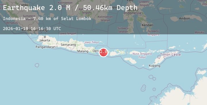
A 2.0 magnitude earthquake struck on Bali Region, Indonesia, at Sat, 10 Jan 2026 16:16:30 GMT. Depth: 50.463715km. Reviewed by BMKG seismologists, this minor quake occurred at a magnitude type of M.
Magnitude
2.0
M
Source
BMKG
Intensity
-
Agency Reports
1 Sources| Source | Magnitude | Depth | Time |
|---|---|---|---|
| BMKGPrimary | 2.0 | 50 km | 1 day ago |
Earthquake Details
AutomaticEvent IDbmg2026arrt
Tsunami PotentialNo
Magnitude TypeM
Nearest Places
- Selat Lombok7.8 km
- Tanjung Karangasem16.3 km
- Tukad Belong16.6 km
- Tukad Item16.7 km
- Blaslantang16.7 km
Comments
Join the discussion about this event.
Latest Earthquakes
3.3Mag
Talaud Islands, Indonesia
Time1 day ago
Depth27.07 km
SourceBMKG (Automatic)
3.3Mag
AEGEAN SEA
Time1 day ago
Depth15.00 km
SourceNOA (Automatic)
3.7Mag
Southern Sumatra, Indonesia
Time1 day ago
Depth27.93 km
SourceBMKG (Automatic)
2.4Mag
33 km SW of Karluk, Alaska
Time1 day ago
Depth22.10 km
SourceUSGS (Automatic)
0.7Mag
8 km NW of The Geysers, CA
Time1 day ago
Depth1.32 km
SourceUSGS (Automatic)
Nearby Earthquakes
2.2Mag
Bali Region, Indonesia
Time1 day ago
Depth27.69 km
SourceBMKG (Automatic)
2.0Mag
Bali Region, Indonesia
Time1 day ago
Depth28.68 km
SourceBMKG (Automatic)
2.3Mag
Bali Region, Indonesia
Time2 days ago
Depth114.49 km
SourceBMKG (Automatic)
2.0Mag
Bali Region, Indonesia
Time2 days ago
Depth34.33 km
SourceBMKG (Automatic)