Earthquake Minahassa Peninsula, Sulawesi
Mon, 12 Jan 2026 13:42:19 GMT
Time11 hours ago
Location
0.3806, 119.8064
Depth
30.9 KM
Event Summary
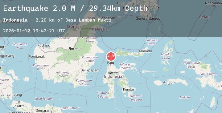
A 2.1 magnitude earthquake struck on Minahassa Peninsula, Sulawesi, at Mon, 12 Jan 2026 13:42:19 GMT. Depth: 30.916368km. Reviewed by BMKG seismologists, this minor quake occurred at a magnitude type of M.
Magnitude
2.1
M
Source
BMKG
Intensity
-
Agency Reports
1 Sources| Source | Magnitude | Depth | Time |
|---|---|---|---|
| BMKGPrimary | 2.1 | 31 km | 11 hours ago |
Earthquake Details
AutomaticEvent IDbmg2026avdr
Tsunami PotentialNo
Magnitude TypeM
Nearest Places
- Tando Pagimpuang6.8 km
- Bangkalang Binomo7.0 km
- Binomo7.5 km
- Bulur Salome7.8 km
- Desa Long7.9 km
Comments
Join the discussion about this event.
Latest Earthquakes
2.3Mag
44 km NNW of Valdez, Alaska
Time11 hours ago
Depth18.60 km
SourceUSGS (Automatic)
1.1Mag
2 km NNW of The Geysers, CA
Time12 hours ago
Depth0.37 km
SourceUSGS (Automatic)
4.7Mag
TAIWAN
Time12 hours ago
Depth56.50 km
SourceGFZ (Automatic)
3.6Mag
MYANMAR
Time12 hours ago
Depth10.00 km
SourceTSB (Automatic)
2.1Mag
Sumbawa Region, Indonesia
Time12 hours ago
Depth21.71 km
SourceBMKG (Automatic)
Nearby Earthquakes
No significant earthquakes nearby recently.