Earthquake 44 km NNW of Valdez, Alaska
Mon, 12 Jan 2026 13:37:11 GMT
Time12 hours ago
Location
61.5110, -146.6180
Depth
18.6 KM
Event Summary
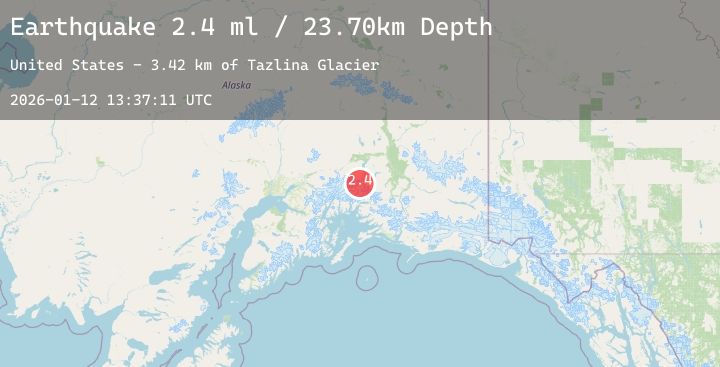
A 2.3 magnitude earthquake struck on 44 km NNW of Valdez, Alaska, at Mon, 12 Jan 2026 13:37:11 GMT. Depth: 18.6km. Reviewed by USGS seismologists, this minor quake occurred at a magnitude type of ml.
Magnitude
2.3
ml
Source
USGS
Intensity
-
Agency Reports
1 Sources| Source | Magnitude | Depth | Time |
|---|---|---|---|
| USGSPrimary | 2.3 | 19 km | 12 hours ago |
Earthquake Details
AutomaticEvent IDusgs_ak2026avgbwl
Tsunami PotentialNo
Magnitude Typeml
Nearest Places
- Tazlina Glacier2.8 km
- Brontosaurus Mountain6.0 km
- Audubon Mountain10.4 km
- Iceberg Lake12.1 km
- Madean Peak15.6 km
Comments
Join the discussion about this event.
Latest Earthquakes
0.7Mag
2 km NNW of The Geysers, CA
Time12 hours ago
Depth0.37 km
SourceUSGS (Automatic)
3.6Mag
MYANMAR
Time12 hours ago
Depth10.00 km
SourceTSB (Automatic)
2.1Mag
Sumbawa Region, Indonesia
Time12 hours ago
Depth21.71 km
SourceBMKG (Automatic)
1.3Mag
2 km NW of Universal City, CA
Time12 hours ago
Depth14.15 km
SourceUSGS (Automatic)
2.9Mag
Minahassa Peninsula, Sulawesi
Time12 hours ago
Depth261.21 km
SourceBMKG (Automatic)
Nearby Earthquakes
No significant earthquakes nearby recently.