Earthquake Flores Sea
Tue, 13 Jan 2026 20:33:00 GMT
Time1 day ago
Location
-7.7274, 118.9309
Depth
16.6 KM
Event Summary
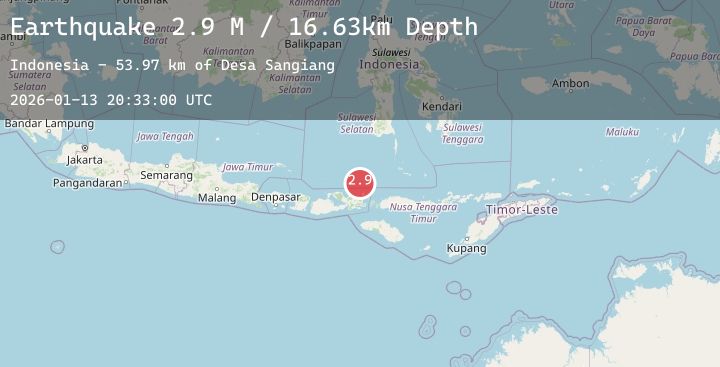
A 2.9 magnitude earthquake struck on Flores Sea, at Tue, 13 Jan 2026 20:33:00 GMT. Depth: 16.634447km. Reviewed by BMKG seismologists, this minor quake occurred at a magnitude type of M.
Magnitude
2.9
M
Source
BMKG
Intensity
-
Agency Reports
1 Sources| Source | Magnitude | Depth | Time |
|---|---|---|---|
| BMKGPrimary | 2.9 | 17 km | 1 day ago |
Earthquake Details
AutomaticEvent IDbmg2026axms
Tsunami PotentialNo
Magnitude TypeM
Nearest Places
- Desa Sangiang53.9 km
- Pulau Sangeang53.9 km
- Gunung Api54.3 km
- Gunungapi55.2 km
- Selat Sangeang60.4 km
Comments
Join the discussion about this event.
Latest Earthquakes
2.8Mag
SOUTHERN CALIFORNIA
Time1 day ago
Depth5.60 km
SourceSCSN (Automatic)
2.9Mag
Ceram Sea
Time1 day ago
Depth10.00 km
SourceBMKG (Automatic)
3.1Mag
OFFSHORE EL SALVADOR
Time1 day ago
Depth26.00 km
SourceINET (Automatic)
3.6Mag
OFFSHORE COQUIMBO, CHILE
Time1 day ago
Depth45.10 km
SourceCSN (Automatic)
2.7Mag
SAN JUAN, ARGENTINA
Time1 day ago
Depth103.00 km
SourceNSNA (Automatic)
Nearby Earthquakes
2.3Mag
Sumbawa Region, Indonesia
Time1 day ago
Depth185.59 km
SourceBMKG (Automatic)
2.1Mag
Flores Sea
Time1 day ago
Depth458.12 km
SourceBMKG (Automatic)
2.4Mag
Flores Region, Indonesia
Time1 day ago
Depth17.13 km
SourceBMKG (Automatic)
2.4Mag
Flores Region, Indonesia
Time2 days ago
Depth32.78 km
SourceBMKG (Automatic)
2.8Mag
Flores Sea
Time2 days ago
Depth33.56 km
SourceBMKG (Automatic)