Earthquake Northern Molucca Sea
Fri, 16 Jan 2026 15:51:53 GMT
Time2 hours ago
Location
0.9674, 126.1550
Depth
27.1 KM
Event Summary
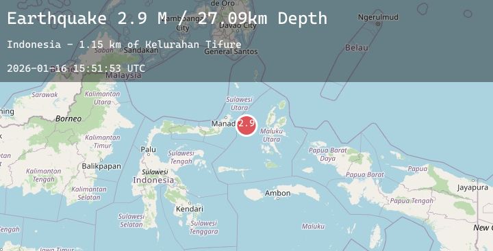
A 2.9 magnitude earthquake struck on Northern Molucca Sea, at Fri, 16 Jan 2026 15:51:53 GMT. Depth: 27.088499km. Reviewed by BMKG seismologists, this minor quake occurred at a magnitude type of M.
Magnitude
2.9
M
Source
BMKG
Intensity
-
Agency Reports
1 Sources| Source | Magnitude | Depth | Time |
|---|---|---|---|
| BMKGPrimary | 2.9 | 27 km | 2 hours ago |
Earthquake Details
AutomaticEvent IDbmg2026bcpy
Tsunami PotentialNo
Magnitude TypeM
Nearest Places
- Kelurahan Tifure1.1 km
- Pulau Tifore1.7 km
- Pulau Gureda2.4 km
- Kelurahan Pantai Sagu2.4 km
- Tanjung Geranomaderi41.9 km
Comments
Join the discussion about this event.
Latest Earthquakes
2.9Mag
Java, Indonesia
Time2 hours ago
Depth39.09 km
SourceBMKG (Automatic)
4.2Mag
HOKKAIDO, JAPAN REGION
Time2 hours ago
Depth0.00 km
SourceJMA (Automatic)
3.2Mag
Northern Molucca Sea
Time2 hours ago
Depth64.49 km
SourceBMKG (Automatic)
1.1Mag
4 km NNW of The Geysers, CA
Time2 hours ago
Depth2.58 km
SourceUSGS (Automatic)
2.1Mag
Flores Sea
Time2 hours ago
Depth38.71 km
SourceBMKG (Automatic)