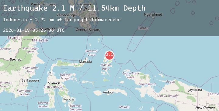
Earthquake Halmahera, Indonesia
Sat, 17 Jan 2026 05:25:32 GMT
Time2 hours ago
Location
2.6077, 128.0055
Depth
7.1 KM
Event Summary
A 3.1 magnitude earthquake struck on Halmahera, Indonesia, at Sat, 17 Jan 2026 05:25:32 GMT. Depth: 7.065693km. Reviewed by BMKG seismologists, this minor quake occurred at a magnitude type of M.
Magnitude
3.1
M
Source
BMKG
Intensity
-
Agency Reports
2 Sources| Source | Magnitude | Depth | Time |
|---|---|---|---|
| BMKGPrimary | 3.1 | 7 km | 2 hours ago |
| BMKGPrimary | 3.1 | 2 km | 2 hours ago |
Earthquake Details
AutomaticEvent IDbmg2026bdqu
Tsunami PotentialNo
Magnitude TypeM
Nearest Places
- Pulau Tuanane28.0 km
- Tanjung Papaye28.1 km
- Desa Lou Madoro29.5 km
- Laumadoro29.6 km
- Aru31.7 km
Comments
Join the discussion about this event.
Latest Earthquakes
1.2Mag
16 km S of Tres Pinos, CA
Time4 minutes ago
Depth4.69 km
SourceUSGS (Automatic)
1.5Mag
5 km SSW of Idyllwild, CA
Time6 minutes ago
Depth17.31 km
SourceUSGS (Automatic)
3.9Mag
South of Java, Indonesia
Time10 minutes ago
Depth5.96 km
SourceBMKG (Automatic)
2.3Mag
50 km SSW of Alcan Border, Alaska
Time24 minutes ago
Depth5.00 km
SourceUSGS (Automatic)
3.2Mag
OFF E. COAST OF N. ISLAND, N.Z.
Time26 minutes ago
Depth26.40 km
SourceGNS (Automatic)