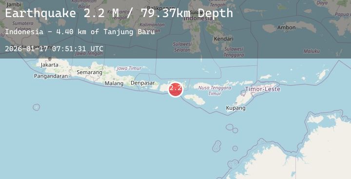
Earthquake Sumbawa Region, Indonesia
Sat, 17 Jan 2026 07:51:31 GMT
Time3 hours ago
Location
-8.9107, 118.1483
Depth
79.5 KM
Event Summary
A 2.1 magnitude earthquake struck on Sumbawa Region, Indonesia, at Sat, 17 Jan 2026 07:51:31 GMT. Depth: 79.52993km. Reviewed by BMKG seismologists, this minor quake occurred at a magnitude type of M.
Magnitude
2.1
M
Source
BMKG
Intensity
-
Agency Reports
1 Sources| Source | Magnitude | Depth | Time |
|---|---|---|---|
| BMKGPrimary | 2.1 | 80 km | 3 hours ago |
Earthquake Details
AutomaticEvent IDbmg2026bdvp
Tsunami PotentialNo
Magnitude TypeM
Nearest Places
- Tanjung Baru3.9 km
- Panco7.0 km
- Brang Tiram8.2 km
- Teluk Tiro12.5 km
- Desa Mata13.9 km
Comments
Join the discussion about this event.
Latest Earthquakes
2.0Mag
4 km E of Pearsall, Texas
Time3 hours ago
Depth5.96 km
SourceUSGS (Automatic)
2.3Mag
18 km SW of Whittier, Alaska
Time3 hours ago
Depth16.90 km
SourceUSGS (Automatic)
1.4Mag
8 km NW of The Geysers, CA
Time4 hours ago
Depth1.91 km
SourceUSGS (Automatic)
2.3Mag
44 km N of Valdez, Alaska
Time4 hours ago
Depth5.20 km
SourceUSGS (Automatic)
1.6Mag
14 km NNE of Sutton-Alpine, Alaska
Time4 hours ago
Depth27.20 km
SourceUSGS (Automatic)
Nearby Earthquakes
2.3Mag
Sumbawa Region, Indonesia
Time7 hours ago
Depth10.00 km
SourceBMKG (Automatic)
2.4Mag
Sumbawa Region, Indonesia
Time17 hours ago
Depth17.58 km
SourceBMKG (Automatic)
2.0Mag
Sumbawa Region, Indonesia
Time19 hours ago
Depth7.32 km
SourceBMKG (Automatic)
2.5Mag
Sumbawa Region, Indonesia
Time21 hours ago
Depth11.46 km
SourceBMKG (Automatic)
2.1Mag
Flores Region, Indonesia
Time1 day ago
Depth87.43 km
SourceBMKG (Automatic)