Earthquake 8 km NW of The Geysers, CA
Sat, 17 Jan 2026 07:47:03 GMT
Time2 hours ago
Location
38.8320, -122.8175
Depth
1.9 KM
Event Summary
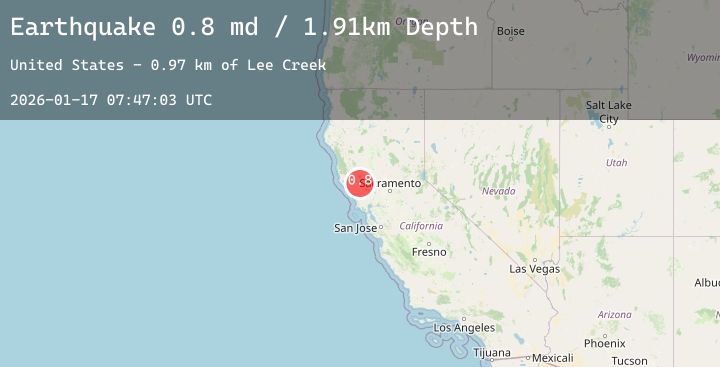
A 1.4 magnitude earthquake struck on 8 km NW of The Geysers, CA, at Sat, 17 Jan 2026 07:47:03 GMT. Depth: 1.9099999666214km. Reviewed by USGS seismologists, this minor quake occurred at a magnitude type of md.
Magnitude
1.4
md
Source
USGS
Intensity
-
Agency Reports
5 Sources| Source | Magnitude | Depth | Time |
|---|---|---|---|
| USGSPrimary | 0.8 | 2 km | 2 hours ago |
| USGSPrimary | 1.4 | 1 km | 2 hours ago |
| USGSPrimary | 0.7 | 2 km | 2 hours ago |
| USGSPrimary | 0.7 | 2 km | 2 hours ago |
| USGSPrimary | 0.8 | 3 km | 1 hour ago |
Earthquake Details
AutomaticEvent IDusgs_nc75296911
Tsunami PotentialNo
Magnitude Typemd
Nearest Places
- Bear Canyon0.5 km
- Coldwater Canyon0.7 km
- Black Oaks1.3 km
- Caldwell Ranch1.4 km
- Caldwell Pines1.7 km
Comments
Join the discussion about this event.
Latest Earthquakes
1.3Mag
2 km N of The Geysers, CA
Time1 hour ago
Depth0.62 km
SourceUSGS (Automatic)
0.7Mag
9 km NE of Coso Junction, CA
Time1 hour ago
Depth3.94 km
SourceUSGS (Automatic)
4.0Mag
KYUSHU, JAPAN
Time1 hour ago
Depth0.00 km
SourceJMA (Automatic)
2.2Mag
CENTRAL TURKEY
Time1 hour ago
Depth7.30 km
SourceEMSC (Automatic)
3.4Mag
Near North Coast of West Papua
Time1 hour ago
Depth10.00 km
SourceBMKG (Automatic)
Nearby Earthquakes
1.3Mag
2 km N of The Geysers, CA
Time1 hour ago
Depth0.62 km
SourceUSGS (Automatic)
1.3Mag
6 km NNW of The Geysers, CA
Time3 hours ago
Depth1.87 km
SourceUSGS (Automatic)
1.3Mag
2 km NNW of The Geysers, CA
Time4 hours ago
Depth3.48 km
SourceUSGS (Automatic)
1.4Mag
9 km WNW of The Geysers, CA
Time6 hours ago
Depth2.36 km
SourceUSGS (Automatic)
1.3Mag
7 km NW of The Geysers, CA
Time8 hours ago
Depth2.74 km
SourceUSGS (Automatic)