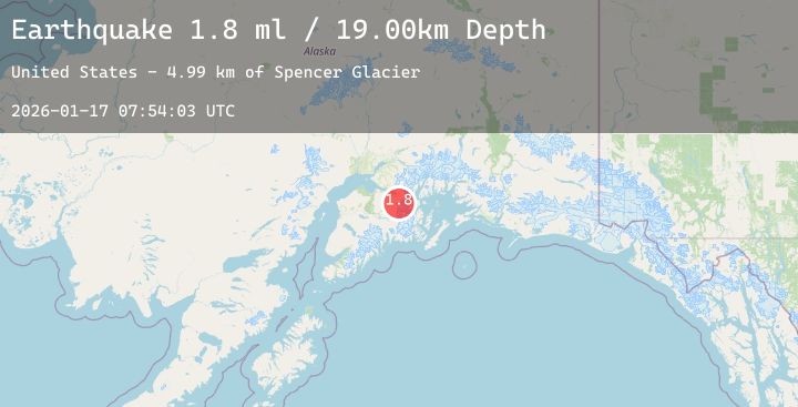
Earthquake 18 km SW of Whittier, Alaska
Sat, 17 Jan 2026 07:54:03 GMT
Time2 hours ago
Location
60.6670, -148.9330
Depth
16.9 KM
Event Summary
A 2.3 magnitude earthquake struck on 18 km SW of Whittier, Alaska, at Sat, 17 Jan 2026 07:54:03 GMT. Depth: 16.9km. Reviewed by USGS seismologists, this minor quake occurred at a magnitude type of ml.
Magnitude
2.3
ml
Source
USGS
Intensity
-
Agency Reports
1 Sources| Source | Magnitude | Depth | Time |
|---|---|---|---|
| USGSPrimary | 2.3 | 17 km | 2 hours ago |
Earthquake Details
AutomaticEvent IDusgs_ak2026bdzipl
Tsunami PotentialNo
Magnitude Typeml
Nearest Places
- Spencer Glacier4.1 km
- Deadman Glacier4.7 km
- Bartlett Glacier5.4 km
- Tunnel5.8 km
- Carpathian Peak6.1 km
Comments
Join the discussion about this event.
Latest Earthquakes
0.7Mag
7 km NW of The Geysers, CA
Time4 minutes ago
Depth0.99 km
SourceUSGS (Automatic)
3.6Mag
CENTRAL ALASKA
Time12 minutes ago
Depth0.00 km
SourceAK (Automatic)
1.7Mag
WESTERN TURKEY
Time13 minutes ago
Depth14.70 km
SourceEMSC (Automatic)
1.0Mag
84 km NNW of Karluk, Alaska
Time30 minutes ago
Depth5.00 km
SourceUSGS (Automatic)
2.5Mag
Northern Sumatra, Indonesia
Time30 minutes ago
Depth13.01 km
SourceBMKG (Automatic)
Nearby Earthquakes
2.7Mag
1 km SE of Point MacKenzie, Alaska
Time4 hours ago
Depth22.90 km
SourceUSGS (Automatic)
1.9Mag
45 km ENE of Whittier, Alaska
Time5 hours ago
Depth14.70 km
SourceUSGS (Automatic)
2.4Mag
3 km SE of Point MacKenzie, Alaska
Time7 hours ago
Depth19.50 km
SourceUSGS (Automatic)
1.4Mag
45 km ESE of Knik River, Alaska
Time21 hours ago
Depth17.40 km
SourceUSGS (Automatic)