Earthquake Sumba Region, Indonesia
Sat, 17 Jan 2026 15:46:55 GMT
Time4 hours ago
Location
-9.4929, 120.2737
Depth
56.7 KM
Event Summary
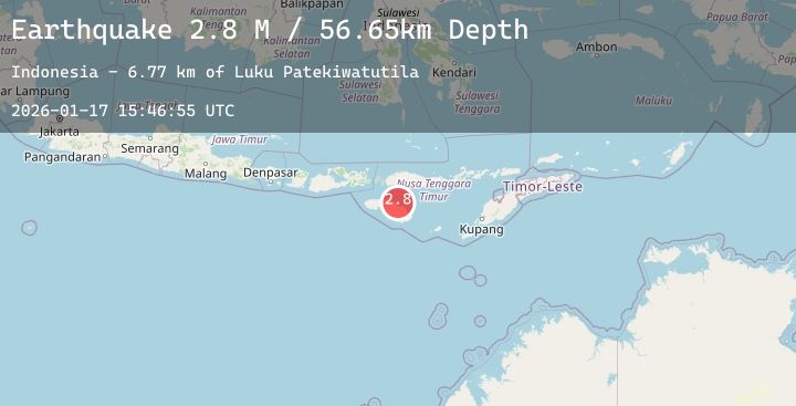
A 2.8 magnitude earthquake struck on Sumba Region, Indonesia, at Sat, 17 Jan 2026 15:46:55 GMT. Depth: 56.651951km. Reviewed by BMKG seismologists, this minor quake occurred at a magnitude type of M.
Magnitude
2.8
M
Source
BMKG
Intensity
-
Agency Reports
1 Sources| Source | Magnitude | Depth | Time |
|---|---|---|---|
| BMKGPrimary | 2.8 | 57 km | 4 hours ago |
Earthquake Details
AutomaticEvent IDbmg2026belh
Tsunami PotentialNo
Magnitude TypeM
Nearest Places
- Luku Patekiwatutila6.8 km
- Maudulung7.1 km
- Luku Maudulung7.1 km
- Luku Ananahu7.1 km
- Luku Karuakapu7.6 km
Comments
Join the discussion about this event.
Latest Earthquakes
2.8Mag
Java, Indonesia
Time4 hours ago
Depth23.71 km
SourceBMKG (Automatic)
2.0Mag
Sumbawa Region, Indonesia
Time4 hours ago
Depth21.43 km
SourceBMKG (Automatic)
2.3Mag
Northern Sumatra, Indonesia
Time4 hours ago
Depth7.51 km
SourceBMKG (Automatic)
3.3Mag
Timor Region
Time5 hours ago
Depth9.73 km
SourceBMKG (Automatic)
3.5Mag
Talaud Islands, Indonesia
Time5 hours ago
Depth89.49 km
SourceBMKG (Automatic)