Earthquake Near North Coast of West Papua
Sat, 17 Jan 2026 16:07:01 GMT
Time4 hours ago
Location
-2.3703, 140.4786
Depth
10.0 KM
Event Summary
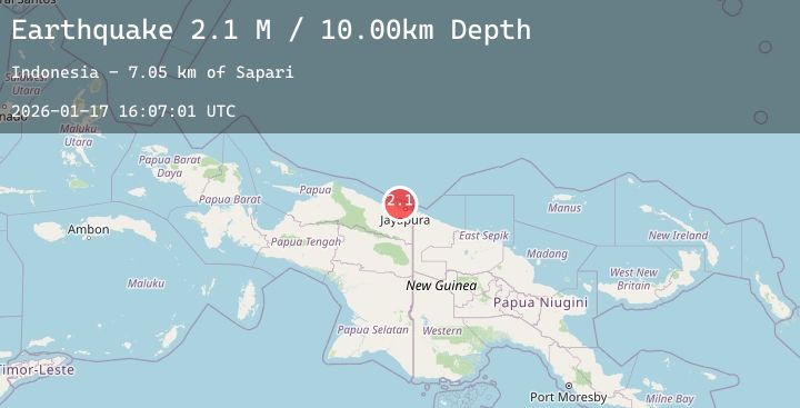
A 2.1 magnitude earthquake struck on Near North Coast of West Papua, at Sat, 17 Jan 2026 16:07:01 GMT. Depth: 10km. Reviewed by BMKG seismologists, this minor quake occurred at a magnitude type of M.
Magnitude
2.1
M
Source
BMKG
Intensity
-
Agency Reports
1 Sources| Source | Magnitude | Depth | Time |
|---|---|---|---|
| BMKGPrimary | 2.1 | 10 km | 4 hours ago |
Earthquake Details
AutomaticEvent IDbmg2026bely
Tsunami PotentialNo
Magnitude TypeM
Nearest Places
- Sapari7.0 km
- Doromena7.2 km
- Jafase8.9 km
- Kampung Yongsu Sapari10.3 km
- Kampung Yewena10.5 km
Comments
Join the discussion about this event.
Latest Earthquakes
1.7Mag
99 km E of McCarthy, Alaska
Time4 hours ago
Depth4.80 km
SourceUSGS (Automatic)
3.1Mag
NORTH ISLAND OF NEW ZEALAND
Time4 hours ago
Depth181.50 km
SourceGNS (Automatic)
2.8Mag
Java, Indonesia
Time4 hours ago
Depth23.71 km
SourceBMKG (Automatic)
2.8Mag
Sumba Region, Indonesia
Time4 hours ago
Depth56.65 km
SourceBMKG (Automatic)
2.0Mag
Sumbawa Region, Indonesia
Time4 hours ago
Depth21.43 km
SourceBMKG (Automatic)