Earthquake NORTH ISLAND OF NEW ZEALAND
Sat, 17 Jan 2026 15:55:37 GMT
Time4 hours ago
Location
-38.2258, 175.8625
Depth
181.5 KM
Event Summary
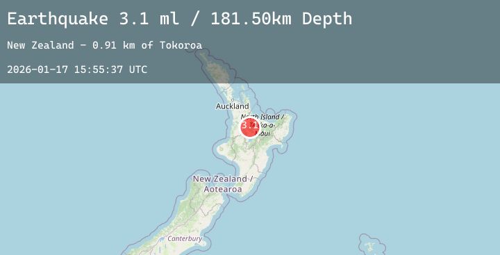
A 3.1 magnitude earthquake struck on NORTH ISLAND OF NEW ZEALAND, at Sat, 17 Jan 2026 15:55:37 GMT. Depth: 181.5km. Reviewed by GNS seismologists, this minor quake occurred at a magnitude type of ml.
Magnitude
3.1
ml
Source
GNS
Intensity
-
Agency Reports
1 Sources| Source | Magnitude | Depth | Time |
|---|---|---|---|
| GNSPrimary | 3.1 | 182 km | 4 hours ago |
Earthquake Details
AutomaticEvent IDemsc_20260117_0000180
Tsunami PotentialNo
Magnitude Typeml
Nearest Places
- Tokoroa0.9 km
- Tokoroa1.1 km
- Lake Moananui1.5 km
- Whakauru Stream2.6 km
- Tokoroa Airfield2.9 km
Comments
Join the discussion about this event.
Latest Earthquakes
2.8Mag
Java, Indonesia
Time4 hours ago
Depth23.71 km
SourceBMKG (Automatic)
2.8Mag
Sumba Region, Indonesia
Time4 hours ago
Depth56.65 km
SourceBMKG (Automatic)
2.0Mag
Sumbawa Region, Indonesia
Time4 hours ago
Depth21.43 km
SourceBMKG (Automatic)
2.3Mag
Northern Sumatra, Indonesia
Time4 hours ago
Depth7.51 km
SourceBMKG (Automatic)
3.3Mag
Timor Region
Time5 hours ago
Depth9.73 km
SourceBMKG (Automatic)