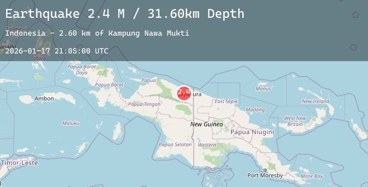
Earthquake Near North Coast of West Papua
Sat, 17 Jan 2026 21:05:00 GMT
Time3 hours ago
Location
-2.9083, 140.1639
Depth
31.6 KM
Event Summary
A 2.4 magnitude earthquake struck on Near North Coast of West Papua, at Sat, 17 Jan 2026 21:05:00 GMT. Depth: 31.597469km. Reviewed by BMKG seismologists, this minor quake occurred at a magnitude type of M.
Magnitude
2.4
M
Source
BMKG
Intensity
-
Agency Reports
1 Sources| Source | Magnitude | Depth | Time |
|---|---|---|---|
| BMKGPrimary | 2.4 | 32 km | 3 hours ago |
Earthquake Details
AutomaticEvent IDbmg2026bevu
Tsunami PotentialNo
Magnitude TypeM
Nearest Places
- Kampung Nawa Mukti2.6 km
- Kampung Nawa Mulya4.3 km
- Distrik Yapsi5.3 km
- Sungai Nawa5.7 km
- Gunung Bebotna5.9 km
Comments
Join the discussion about this event.
Latest Earthquakes
0.7Mag
7 km NW of The Geysers, CA
Time4 hours ago
Depth2.47 km
SourceUSGS (Automatic)
2.3Mag
Bali Region, Indonesia
Time4 hours ago
Depth35.15 km
SourceBMKG (Automatic)
1.3Mag
43 km NW of Toyah, Texas
Time4 hours ago
Depth4.15 km
SourceUSGS (Automatic)
3.8Mag
South of Java, Indonesia
Time4 hours ago
Depth10.00 km
SourceBMKG (Automatic)
2.1Mag
South of Bali, Indonesia
Time4 hours ago
Depth5.00 km
SourceBMKG (Automatic)