Earthquake Banda Sea
Wed, 21 Jan 2026 23:21:10 GMT
Time5 days ago
Location
-4.7308, 131.2017
Depth
132.9 KM
Event Summary
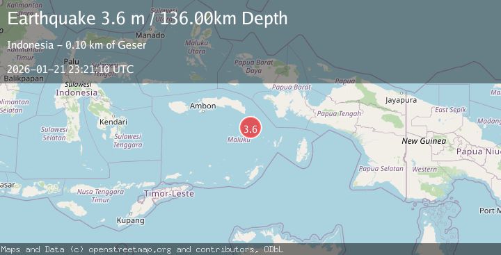
A 3.6 magnitude earthquake struck on Banda Sea, at Wed, 21 Jan 2026 23:21:10 GMT. Depth: 132.891632km. Reviewed by BMKG seismologists, this minor quake occurred at a magnitude type of M.
Magnitude
3.6
M
Source
BMKG
Intensity
-
Agency Reports
1 Sources| Source | Magnitude | Depth | Time |
|---|---|---|---|
| BMKGPrimary | 3.6 | 136 km | 5 days ago |
Earthquake Details
AutomaticEvent IDbmg2026bmih
Tsunami PotentialNo
Magnitude TypeM
Nearest Places
- Banda Trench37.4 km
- Tamher Timur55.3 km
- Temcerbara55.6 km
- Desa Otademan55.7 km
- Guliar55.8 km
Comments
Join the discussion about this event.
Latest Earthquakes
1.1Mag
30 km NE of Los Alamos, CA
Time10 minutes ago
Depth4.17 km
SourceUSGS (Automatic)
1.2Mag
EASTERN TURKEY
Time10 minutes ago
Depth7.00 km
SourceAFAD (Automatic)
2.6Mag
Timor Region
Time12 minutes ago
Depth35.26 km
SourceBMKG (Automatic)
2.3Mag
Sumbawa Region, Indonesia
Time13 minutes ago
Depth10.00 km
SourceBMKG (Automatic)
2.5Mag
Flores Sea
Time14 minutes ago
Depth26.93 km
SourceBMKG (Automatic)
Nearby Earthquakes
3.8Mag
Banda Sea
Time22 hours ago
Depth164.97 km
SourceBMKG (Automatic)
3.2Mag
Banda Sea
Time1 day ago
Depth172.05 km
SourceBMKG (Automatic)
2.9Mag
West Papua Region, Indonesia
Time5 hours ago
Depth83.86 km
SourceBMKG (Automatic)
3.4Mag
Banda Sea
Time21 hours ago
Depth356.25 km
SourceBMKG (Automatic)
4.2Mag
Banda Sea
Time5 days ago
Depth216.99 km
SourceBMKG (Automatic)