Earthquake OFF W. COAST OF S. ISLAND, N.Z.
Tue, 27 Jan 2026 00:57:54 GMT
Time9 hours ago
Location
-40.3060, 172.9937
Depth
30.6 KM
Event Summary
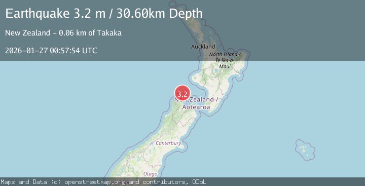
A 3.2 magnitude earthquake struck on OFF W. COAST OF S. ISLAND, N.Z., at Tue, 27 Jan 2026 00:57:54 GMT. Depth: 30.6km. Reviewed by GNS seismologists, this minor quake occurred at a magnitude type of m.
Magnitude
3.2
m
Source
GNS
Intensity
-
Agency Reports
1 Sources| Source | Magnitude | Depth | Time |
|---|---|---|---|
| GNSPrimary | 3.2 | 31 km | 9 hours ago |
Earthquake Details
AutomaticEvent IDemsc_GNS_20260127_0000015
Tsunami PotentialNo
Magnitude Typem
Nearest Places
- Lagoon Creek24.8 km
- Mullet Creek25.7 km
- Farewell Spit25.8 km
- Stockyard Point26.0 km
- Farewell Spit26.0 km
Comments
Join the discussion about this event.
Latest Earthquakes
2.2Mag
Bali Sea
Time9 hours ago
Depth23.43 km
SourceBMKG (Automatic)
3.7Mag
West Papua, Indonesia
Time9 hours ago
Depth73.14 km
SourceBMKG (Automatic)
4.4Mag
COOK STRAIT, NEW ZEALAND
Time9 hours ago
Depth24.80 km
SourceGNS (Automatic)
3.7Mag
Talaud Islands, Indonesia
Time9 hours ago
Depth129.80 km
SourceBMKG (Automatic)
0.8Mag
9 km WNW of The Geysers, CA
Time9 hours ago
Depth1.50 km
SourceUSGS (Automatic)
Nearby Earthquakes
3.3Mag
COOK STRAIT, NEW ZEALAND
Time4 days ago
Depth142.60 km
SourceGNS (Automatic)
3.0Mag
COOK STRAIT, NEW ZEALAND
Time1 day ago
Depth94.00 km
SourceGNS (Automatic)
3.1Mag
COOK STRAIT, NEW ZEALAND
Time4 days ago
Depth45.90 km
SourceGNS (Automatic)
4.4Mag
COOK STRAIT, NEW ZEALAND
Time9 hours ago
Depth24.80 km
SourceGNS (Automatic)
3.1Mag
NORTH ISLAND OF NEW ZEALAND
Time1 day ago
Depth131.20 km
SourceGNS (Automatic)