Earthquake West Papua Region, Indonesia
Tue, 27 Jan 2026 21:17:02 GMT
Time3 hours ago
Location
-0.8073, 133.6758
Depth
17.2 KM
Event Summary
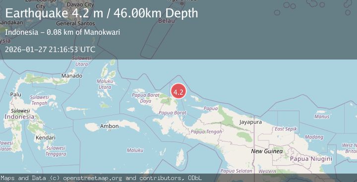
A 3.5 magnitude earthquake struck on West Papua Region, Indonesia, at Tue, 27 Jan 2026 21:17:02 GMT. Depth: 17.240915km. Reviewed by BMKG seismologists, this minor quake occurred at a magnitude type of M.
Magnitude
3.5
M
Source
BMKG
Intensity
-
Agency Reports
1 Sources| Source | Magnitude | Depth | Time |
|---|---|---|---|
| BMKGPrimary | 3.5 | 17 km | 3 hours ago |
Earthquake Details
AutomaticEvent IDbmg2026bxdf
Tsunami PotentialNo
Magnitude TypeM
Nearest Places
- Kampung Igor1.3 km
- Moceinos2.5 km
- Kampung Aurmios2.6 km
- Kampung Sembab3.0 km
- Kampung Wariori4.4 km
Comments
Join the discussion about this event.
Latest Earthquakes
2.0Mag
27 km E of Goodsprings, Nevada
Time4 hours ago
Depth8.10 km
SourceUSGS (Automatic)
1.0Mag
3 km WSW of Cobb, CA
Time4 hours ago
Depth11.40 km
SourceUSGS (Automatic)
2.2Mag
69 km ENE of Pedro Bay, Alaska
Time4 hours ago
Depth109.20 km
SourceUSGS (Automatic)
2.8Mag
PUERTO RICO REGION
Time4 hours ago
Depth10.00 km
SourceNEIC (Automatic)
1.3Mag
37 km NW of Stanton, Texas
Time4 hours ago
Depth8.80 km
SourceUSGS (Automatic)
Nearby Earthquakes
2.1Mag
West Papua Region, Indonesia
Time5 days ago
Depth38.83 km
SourceBMKG (Automatic)
2.4Mag
West Papua Region, Indonesia
Time1 day ago
Depth10.00 km
SourceBMKG (Automatic)
3.2Mag
West Papua Region, Indonesia
Time3 days ago
Depth21.74 km
SourceBMKG (Automatic)
2.1Mag
West Papua Region, Indonesia
Time3 days ago
Depth14.74 km
SourceBMKG (Automatic)
2.4Mag
West Papua Region, Indonesia
Time1 day ago
Depth10.00 km
SourceBMKG (Automatic)