Earthquake Flores Region, Indonesia
Wed, 28 Jan 2026 20:08:25 GMT
Time3 hours ago
Location
-8.1486, 119.8417
Depth
174.8 KM
Event Summary
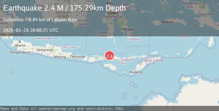
A 2.3 magnitude earthquake struck on Flores Region, Indonesia, at Wed, 28 Jan 2026 20:08:25 GMT. Depth: 174.814301km. Reviewed by BMKG seismologists, this minor quake occurred at a magnitude type of M.
Magnitude
2.3
M
Source
BMKG
Intensity
-
Agency Reports
1 Sources| Source | Magnitude | Depth | Time |
|---|---|---|---|
| BMKGPrimary | 2.3 | 175 km | 3 hours ago |
Earthquake Details
AutomaticEvent IDbmg2026bywl
Tsunami PotentialNo
Magnitude TypeM
Nearest Places
- Toro Seraya Besar26.0 km
- Desa Seraya Marannu26.7 km
- Pulau Seraya-besar26.7 km
- Sabolan-kecil26.9 km
- Sabolan-besar27.4 km
Comments
Join the discussion about this event.
Latest Earthquakes
1.2Mag
10 km NW of The Geysers, CA
Time3 hours ago
Depth1.48 km
SourceUSGS (Automatic)
2.2Mag
FRANCE
Time3 hours ago
Depth5.00 km
SourceReNaSS (Automatic)
3.8Mag
Northern Molucca Sea
Time3 hours ago
Depth10.00 km
SourceBMKG (Automatic)
3.9Mag
PERU-ECUADOR BORDER REGION
Time3 hours ago
Depth69.00 km
SourceQUI (Automatic)
1.6Mag
0 km SW of Loma Linda, CA
Time3 hours ago
Depth15.13 km
SourceUSGS (Automatic)
Nearby Earthquakes
2.5Mag
Flores Region, Indonesia
Time2 days ago
Depth179.70 km
SourceBMKG (Automatic)
2.8Mag
Flores Region, Indonesia
Time5 days ago
Depth174.48 km
SourceBMKG (Automatic)
2.6Mag
FLORES REGION, INDONESIA
Time2 days ago
Depth153.00 km
SourceBMKG (Automatic)
2.5Mag
Flores Region, Indonesia
Time1 week ago
Depth147.07 km
SourceBMKG (Automatic)
2.7Mag
Flores Region, Indonesia
Time6 days ago
Depth160.88 km
SourceBMKG (Automatic)